Huntington in Huntington County, Indiana — The American Midwest (Great Lakes)
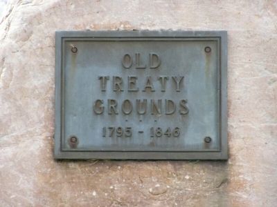
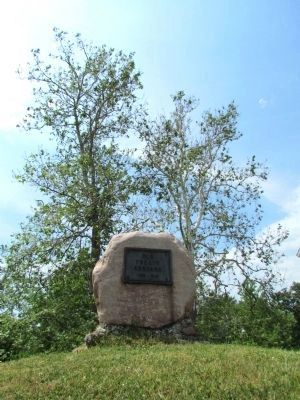
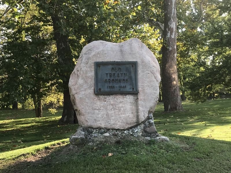
Old Treaty Grounds
1795-1846
Topics. This historical marker is listed in this topic list: Native Americans.
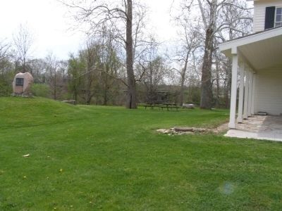
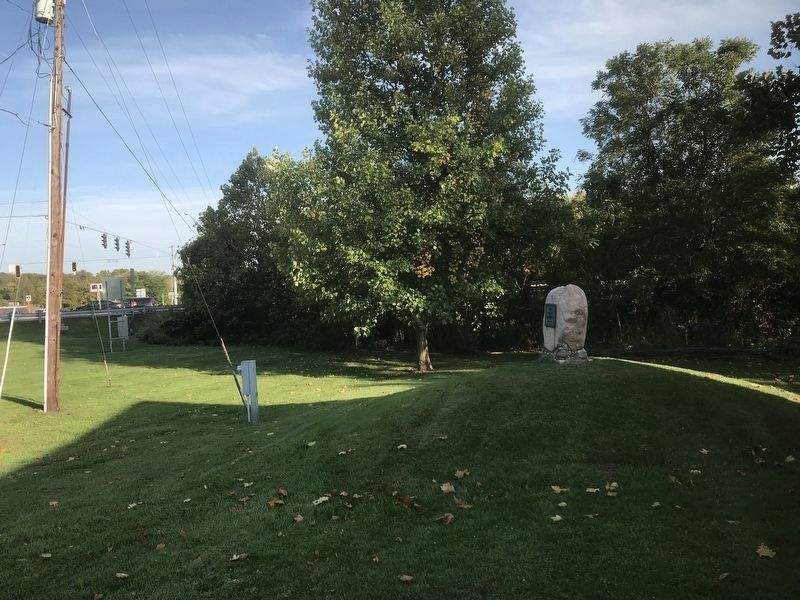
Location. 40° 52.647′ N, 85° 31.959′ W. Marker is in Huntington, Indiana, in Huntington County. Marker is at the intersection of N Marion Road (State Road 9) and Wabash Road (U.S. 24), on the right when traveling south on N Marion Road. Touch for map. Marker is in this post office area: Huntington IN 46750, United States of America. Touch for directions.
Other nearby markers. At least 8 other markers are within 2 miles of this marker, measured as the crow flies. Home of Chief Richardville (within shouting distance of this marker); The Wabash & Erie Canal Fulfilled George Washington's Dream (about 600 feet away, measured in a direct line); Forks of Wabash (about 600 feet away); In 1835, The Wabash & Erie Canal Was Completed (approx. 0.2 miles away); The “Lime City” (approx. 1.3 miles away); Huntington Grand Army of the Republic Memorial (approx. 1.3 miles away); Huntington Veterans Memorial (approx. 1.3 miles away); Huntington Vietnam War Memorial (approx. 1.4 miles away). Touch for a list and map of all markers in Huntington.
Credits. This page was last revised on October 9, 2020. It was originally submitted on May 2, 2008, by Christopher Light of Valparaiso, Indiana. This page has been viewed 1,511 times since then and 12 times this year. Photos: 1. submitted on May 2, 2008, by Christopher Light of Valparaiso, Indiana. 2. submitted on January 26, 2014, by Duane Hall of Abilene, Texas. 3. submitted on October 9, 2020, by Dale K. Benington of Toledo, Ohio. 4. submitted on May 2, 2008, by Christopher Light of Valparaiso, Indiana. 5. submitted on October 9, 2020, by Dale K. Benington of Toledo, Ohio. 6. submitted on May 2, 2008, by Christopher Light of Valparaiso, Indiana. • Kevin W. was the editor who published this page.
