Oradell in Bergen County, New Jersey — The American Northeast (Mid-Atlantic)
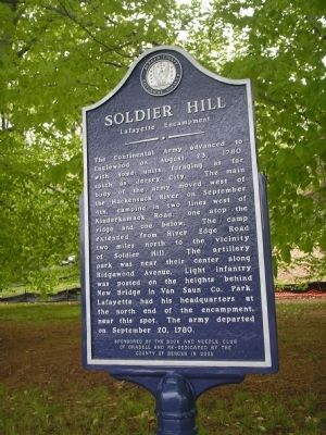
Soldier Hill
Lafayette Encampment
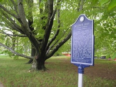
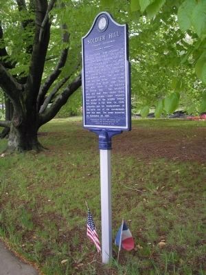
The Continental Army advanced to Englewood on August 23, 1780, with some units foraging as far south as Jersey City. The main body of the army moved west of the Hackensack River on September 4th, camping in two lines west of Kinderkamack Road, one atop the ridge and one below. The camp extended from River Edge Road two miles north to the vicinity of Soldier Hill. The artillery park was near their center along Ridgewood Avenue. Light infantry was posted on the heights behind New Bridge in Van Saun Co. Park. Lafayette had his headquarters at the north end of the encampment, near this spot. The army departed on September 20, 1780.
Sponsored by the Book and Needle Club of Oradell and re-dedicated by the county of Bergen in 2005
Erected 2005 by Bergen County Historical Society. (Marker Number 31.)
Topics and series. This historical marker is listed in these topic lists: Notable Events • War, US Revolutionary. In addition, it is included in the New Jersey, Bergen County Historical Society series list. A significant historical month for this entry is September 1820.
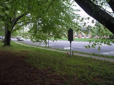
Location. 40° 57.631′ N, 74° 1.845′ W. Marker is in Oradell, New Jersey, in Bergen County. Marker is at the intersection of Kinderkamack Road (County Route 503) and Soldier Hill Road, on the left when traveling north on Kinderkamack Road. Touch for map. Marker is in this post office area: Oradell NJ 07649, United States of America. Touch for directions.
Other nearby markers. At least 8 other markers are within walking distance of this marker. Van Buskirk-Oakley House (approx. 0.3 miles away); Carriage House and Stables (approx. 0.3 miles away); Oradell (approx. 0.4 miles away); Oradell Veterans Memorial (approx. 0.6 miles away); Oradell World War II Memorial (approx. 0.6 miles away); Hagler’s Diner (approx. ¾ mile away); Richard T. Cooper House (approx. 0.9 miles away); Water at the Hackensack Water Works (approx. one mile away). Touch for a list and map of all markers in Oradell.
Also see . . . Bergen County Historical Society. Society website homepage (Submitted on May 2, 2008, by Bill Coughlin of Woodland Park, New Jersey.)
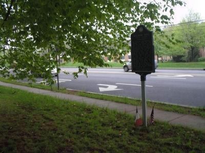
Photographed By Bill Coughlin, May 2, 2008
3. Lafayette Encampment Marker
On September 4, 1780, the Continental Army moved into the Hackensack Valley and went into camp along the ridge just to the west. Lafayette’s Division, including artillery and "Light Horse Harry" Lee’s Cavalry, occupied the heights at this point.
Credits. This page was last revised on December 14, 2021. It was originally submitted on May 2, 2008, by Bill Coughlin of Woodland Park, New Jersey. This page has been viewed 2,141 times since then and 51 times this year. Photos: 1, 2, 3, 4, 5. submitted on May 2, 2008, by Bill Coughlin of Woodland Park, New Jersey. • Christopher Busta-Peck was the editor who published this page.
