
Near Paragonah in Iron County, Utah — The American Mountains (Southwest)
Henry W. Lunt
Roadside Park
Photographed By Bill Kirchner, June 16, 2014
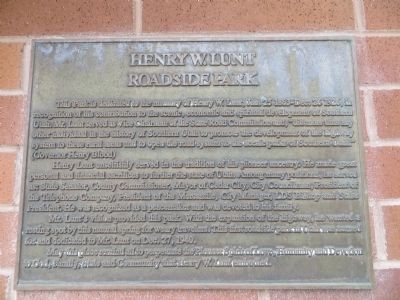
1. Henry W. Lunt Marker
Henry Lunt unselfishly served in the tradition of his pioneer ancestry. He made great personal and financial sacrifices to further the state of Utah. Among many positions, he served as: State Senator, County Commissioner, Mayor of Cedar City, City Councilman, President of the Telephone Company, President of the Mercantile, City Manager, LDS Bishop and Stake President. He was recognized as a peacemaker and was devoted to his family.
Mr. Lunt's vision provided this park. With the expansion of the highway, he wanted a resting spot by this natural spring for weary travelers. This first roadside park in Utah was named for and dedicated to Mr. Lunt on Dec. 27, 1940.
May this place remind all to perpetuate the pioneer spirit of love, humanity and devotion to God, family, state, and community that Henry W. Lunt embodied.
Topics. This historical marker is listed
this page online
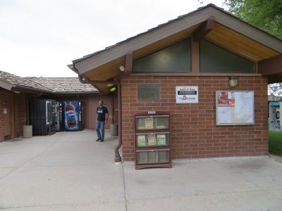
Location. 37° 58.921′ N, 112° 44.288′ W. Marker is near Paragonah, Utah, in Iron County. Marker is on Interstate 15 at milepost 88, on the right when traveling south. Marker is in southbound rest area. Touch for map. Marker is in this post office area: Paragonah UT 84760, United States of America. Touch for directions.
Other nearby markers. At least 8 other markers are within 11 miles of this marker, measured as the crow flies. Paragonah Fort (approx. 6.9 miles away); Paragonah Town Square (approx. 6.9 miles away); The Tithing Lot and Relief Society Hall (approx. 6.9 miles away); The Old Spanish Trail (approx. 7½ miles away); Alma W. Richards (approx. 10.6 miles away); An Original Hitching Ring (approx. 10.9 miles away); Pioneer Rock Church (approx. 10.9 miles away); D.U.P. Relic Hall (approx. 10.9 miles away). Touch for a list and map of all markers in Paragonah.
Photographed By Bill Kirchner, June 16, 2014
2. Henry W. Lunt Marker
Photographed By Bill Kirchner, June 16, 2014
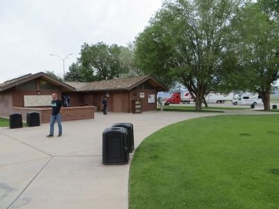
3. Henry W. Lunt Roadside Park
Photographed By Bill Kirchner, June 16, 2014
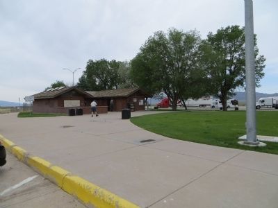
4. Henry W. Lunt Roadside Park
Credits. This page was last revised on June 16, 2016. It was originally submitted on July 23, 2014, by Bill Kirchner of Tucson, Arizona. This page has been viewed 492 times since then and 20 times this year. Photos: 1, 2, 3, 4. submitted on July 23, 2014, by Bill Kirchner of Tucson, Arizona. • Syd Whittle was the editor who published this page.

