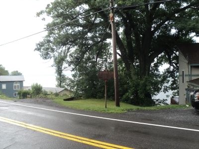
Constantia in Oswego County, New York — The American Northeast (Mid-Atlantic)
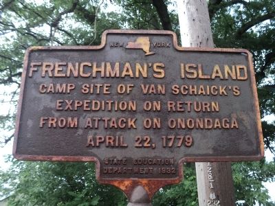
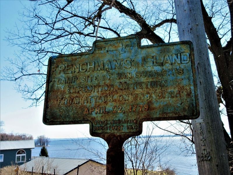
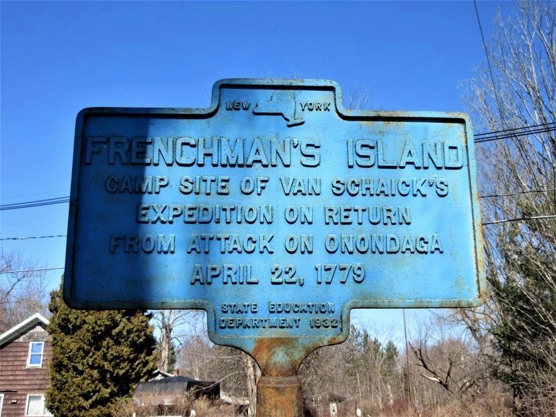
Frenchmanís Island
expedition on return
from attack on Onondaga
April 22, 1779.
Erected 1932 by New York State Education Department.
Topics. This historical marker is listed in this topic list: War, US Revolutionary. A significant historical month for this entry is April 1795.
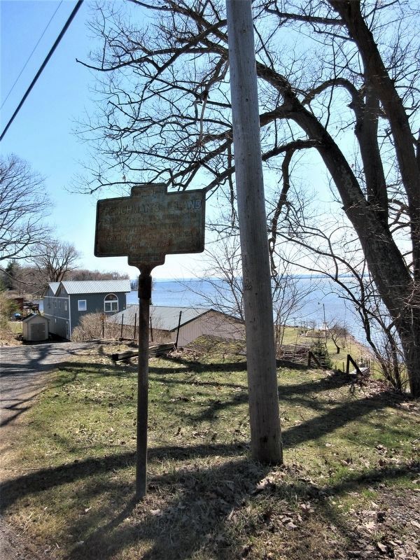
Location. 43° 14.903′ N, 75° 59.38′ W. Marker is in Constantia, New York, in Oswego County. Marker is on George Street (New York State Route 49), on the left when traveling west. Touch for map. Marker is in this post office area: Constantia NY 13044, United States of America. Touch for directions.
Other nearby markers. At least 8 other markers are within 8 miles of this marker, measured as the crow flies. Trinity Episcopal Church (approx. 0.9 miles away); St. Legerís Army (approx. 3.3 miles away); John Bernhard (approx. 3.3 miles away); Kempwyk (approx. 4.1 miles away); Early School (approx. 7.6 miles away); Oliver Stevens (approx. 7.6 miles away); Near This Spot (approx. 7.6 miles away); Fort Brewerton (approx. 7.6 miles away).
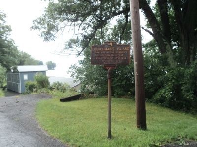
Photographed By Bill Coughlin, July 31, 2014
2. Frenchmanís Island Marker
During the Sullivan-Clinton Campaign in April of 1779, Colonel Goose Van Schaick and 558 men destroyed the chief village of the Onondaga, also known as Onondaga Castle. Afterwards, they made camp at this location on Oneida Lake.
Credits. This page was last revised on July 30, 2022. It was originally submitted on July 31, 2014, by Bill Coughlin of Woodland Park, New Jersey. This page has been viewed 669 times since then and 47 times this year. Photos: 1, 2. submitted on July 31, 2014, by Bill Coughlin of Woodland Park, New Jersey. 3, 4, 5. submitted on July 26, 2022, by Mira Earls of Cortland, New York. 6. submitted on July 31, 2014, by Bill Coughlin of Woodland Park, New Jersey.
