Pattersonville in Schenectady County, New York — The American Northeast (Mid-Atlantic)
Johnson Hall – 1763
Johnstown
| — | Historic New York | — |
Photographed by Bill Coughlin, July 30, 2014
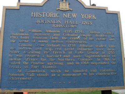
1. Johnson Hall – 1763 Marker
Sir William Johnson (1715-1774), Indian trader, statesman, diplomat and Colonial Empire Builder, in 1763 built Johnson Hall, the center of his estate and the scene of many Indian conferences.
Coming from Ireland in 1738, Johnson traded with the Indians and acquired great influence over them. After defeating the French at Lake George in 1755, he was created a baronet and made Superintendent of Indian Affairs for the Northern Colonies. In 1766 he ended the Pontiac uprising, and in 1768 negotiated the Treaty of Fort Stanwix.
At Johnstown, which he founded and colonized, Johnson Hall stands as a monument to his constructive achievement.
Erected 1961 by New York State Education Department.
Topics and series. This historical marker is listed in these topic lists: Colonial Era • War, US Revolutionary. In addition, it is included in the Historic New York State series list. A significant historical year for this entry is 1763.
Location. 42° 53.792′ N, 74° 5.817′ W. Marker is in Pattersonville, New York, in Schenectady County. It is on New York Thruway (U.S. I-90), on the right when traveling
this page online

Regionally, this marker is in Upstate New York, in the Capital District, and in the Albany Metropolitan Area. It is also in the American Northeast and in the Mid-Atlantic. Globally, it is in North America, the Western Hemisphere, the Western World, and the Anglosphere. Historically, it finds itself in what was once New Netherland and also one of the original Thirteen Colonies.
Other nearby markers. At least 8 other markers are within 2 miles of this marker, measured as the crow flies: Kinaquariones (approx. ¾ mile away); Cement Mill (approx. 0.8 miles away); Empire State Trail (approx. 0.9 miles away); Hoffmans Ferry (approx. one mile away); First Church in Glenville (approx. one mile away); A Notable Home (approx. 1.2 miles away); Wolf Hollow (approx. 1.3 miles away); Adriucha (approx. 1.7 miles away).
Photographed by Bill Coughlin, July 30, 2014
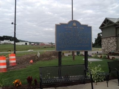
2. Johnson Hall – 1763 Marker
Photographed by Bill Coughlin, July 30, 2014
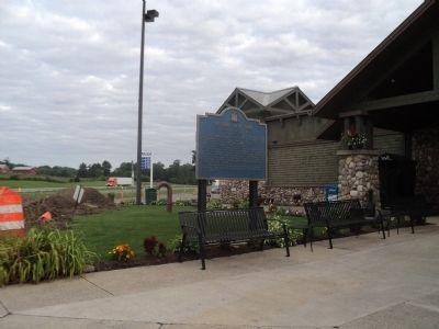
3. Marker on the NY Thruway
Photographed by Bill Coughlin, July 30, 2014
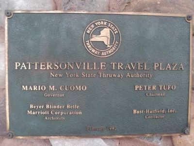
4. Pattersonville Travel Plaza
Marker is located at the Pattersonville Travel Plaza on the New York Thruway.
Credits. This page was last revised on June 16, 2016. It was originally submitted on August 4, 2014, by Bill Coughlin of Woodland Park, New Jersey. This page has been viewed 857 times since then and 72 times this year. Photos: 1, 2, 3, 4. submitted on August 4, 2014, by Bill Coughlin of Woodland Park, New Jersey.
