Near Seneca in Montgomery County, Maryland — The American Northeast (Mid-Atlantic)
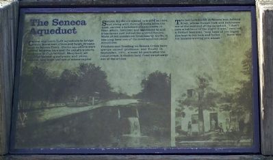
The Seneca Aqueduct
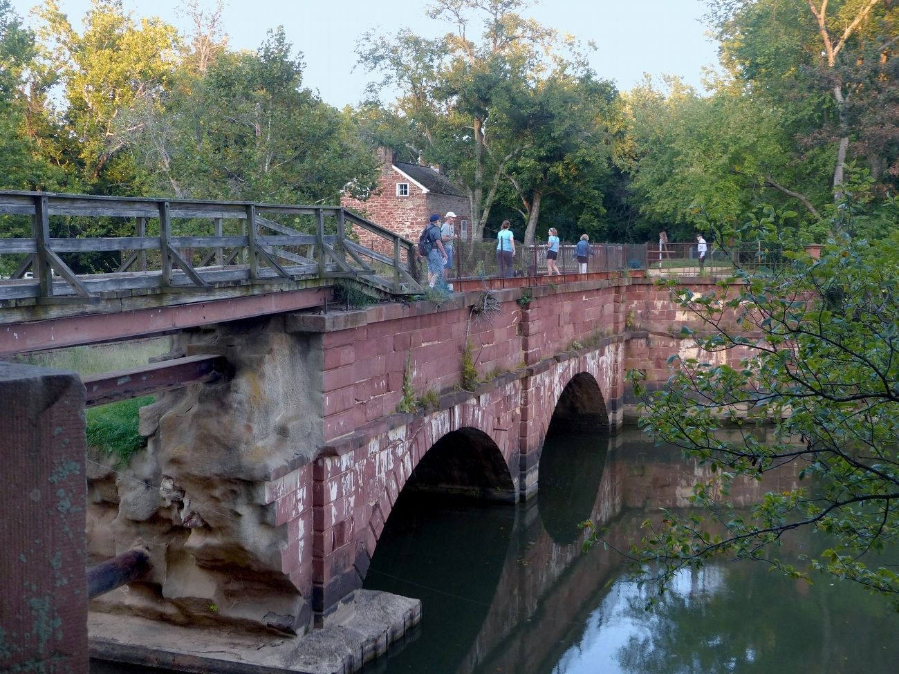
Seneca Aqueduct opened to traffic in 1833, and along with through-boats from the west, carried a substantial local traffic in lime, grain, fertilizer and sandstone to and from farms and industries around Seneca. Made of red sandstone from nearby bluffs, it has long been one of the most admired canal structures.
Freshets and flooding on Seneca Creek have always caused problems, and finally in September, 1971, almost 50 years after the canal closed, a violent local flood swept away one of the arches.
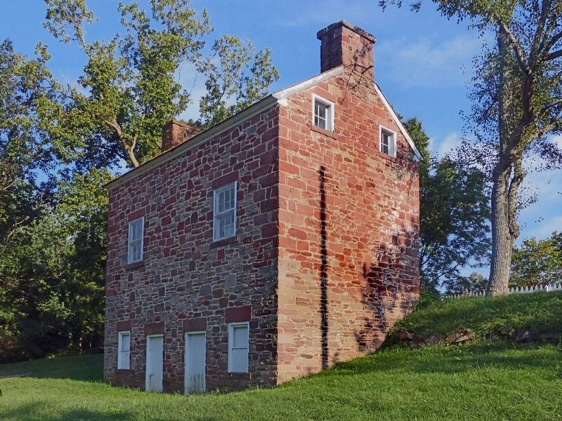
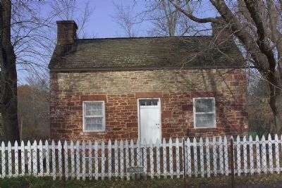
The last locktender at Seneca was Johnny Riley, whose former lock and lockhouse are at the east end of the aqueduct. “I don’t care what hour of the night it was,” recalled a former boatman, “any hour of the night you boat to his lock and holler . . . there was his lantern waving you ahead.”
Topics and series. This historical marker is listed in these topic lists: Bridges & Viaducts • Waterways & Vessels. In addition, it is included in the Chesapeake and Ohio (C&O) Canal series list. A significant historical month for this entry is September 1971.
Location. Marker is missing. It was located near 39° 4.132′ N, 77° 20.453′ W. Marker was near Seneca, Maryland, in Montgomery County. Marker was on Rileys Lock Road south of River Road. Touch for map. Marker was in this post office area: Poolesville MD 20837, United States of America. Touch for directions.
Other nearby markers. At least 5 other markers are within walking distance of this location. Rowser’s Ford (here, next to this marker); Seneca (a few steps from this marker); Seneca: “Average Man’s Resort” (approx. 0.2 miles away); Seneca Creek: “A Raging River” (approx. 0.2 miles away); A Veteran’s Life in Montgomery County (approx. ¾ mile away). Touch for a list and map of all markers in Seneca.
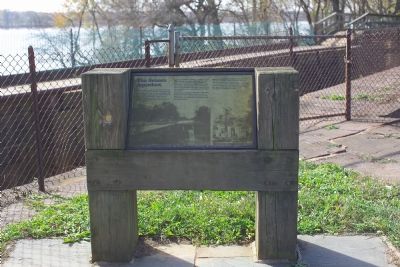
More about this marker. Marker is opposite the towpath overlooking the aqueduct's canal bed.
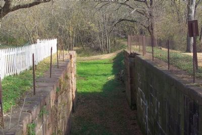
Regarding The Seneca Aqueduct. This is the only place on the canal where the lock (Lock 24) and the aqueduct were built as one structure. The lock is just downstream from the aqueduct.
Related marker. Click here for another marker that is related to this marker. This links to the replacement wayside at the site, "Seneca".
Additional keywords. Chesapeake and Ohio Canal, C&O Canal
Photographed By Tom Fuchs, November 4, 2006
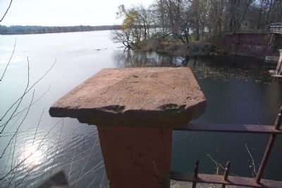
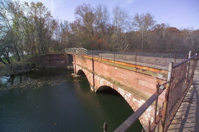
3. The Seneca Aqueduct at the Mouth of Seneca Creek
Two of the three arches remain. An improvised bridge seen in the distance, continues the towpath, now a hiking and bike path, across the missing span. Lock 24, Riley's Lock, is out of frame on the right. The Potomac River is out of frame to the left.
Credits. This page was last revised on May 13, 2023. It was originally submitted on December 15, 2006, by Tom Fuchs of Greenbelt, Maryland. This page has been viewed 2,786 times since then and 10 times this year. Photos: 1, 2, 3. submitted on December 15, 2006, by Tom Fuchs of Greenbelt, Maryland. 4, 5. submitted on December 16, 2006, by Tom Fuchs of Greenbelt, Maryland. 6, 7. submitted on September 5, 2016, by Allen C. Browne of Silver Spring, Maryland. 8. submitted on December 15, 2006, by Tom Fuchs of Greenbelt, Maryland. • J. J. Prats was the editor who published this page.
