
San Marcos in Hays County, Texas — The American South (West South Central)
Site of the First Town of San Marcos
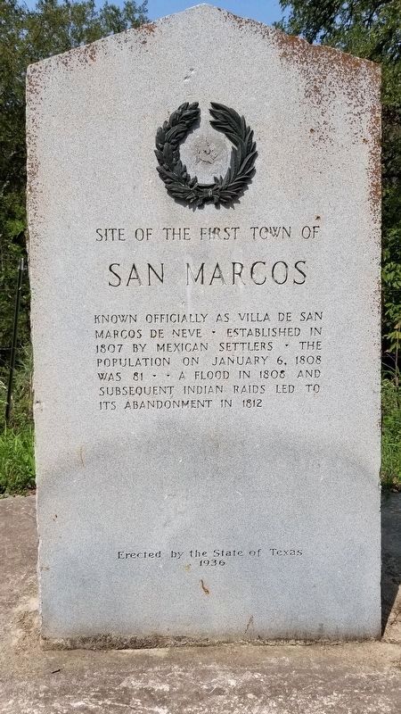
Photographed by James Hulse, September 20, 2020
1. Site of the First Town of San Marcos Marker
Known officially as Villa de San Marcos de Neve. Established in 1807 by Mexican settlers. The population on January 6, 1808 was 81. A flood in 1808 and subsequent Indian raids led to its abandonment in 1812
Erected 1936 by State of Texas. (Marker Number 10319.)
Topics and series. This historical marker is listed in these topic lists: Hispanic Americans • Indigenous Peoples and Communities • Settlements & Settlers. In addition, it is included in the El Camino Real de los Tejas National Historic Trail, and the Texas 1936 Centennial Markers and Monuments series lists. A significant historical month for this entry is January 1783.
Location. 29° 51.326′ N, 97° 53.904′ W. Marker is in San Marcos, Texas, in Hays County. It is on North Old Bastrop Highway (County Route 266) 1.2 miles south of San Marcos Highway (Texas Highway 80), on the right when traveling south. The marker is located just south of the San Marcos River. Touch for map. Marker is in this post office area: San Marcos TX 78666, United States of America. Touch for directions.

Regionally, this marker is in the Hill Country and in the Austin Metropolitan Area. It is also in the American South. Globally, it is in North America, a Gulf of Mexico state, the Western Hemisphere, the Western World, and the Anglosphere. Historically, it finds itself in what was once New Spain, the Republic of Texas, one of the Confederate States of America, and the Antebellum South.
Other nearby markers. At least 8 other markers are within 2 miles of this marker, measured as the crow flies: Don Felipe Roque de la Portilla (here, next to this marker); Lt. Zebulon M. Pike (a few steps from this marker); Charles Lewis McGehee Cabin (a few steps from this marker); Col. Ignacio Elizondo’s 1813 Campaign (approx. ¼ mile away); McGehee Crossing (approx. 1.1 miles
this page online
Other markers no longer nearby. Gen. Antonio Gaona’s 1836 Campaign (was approx. one mile away but has been confirmed missing); El Camino De Nacogdoches (was approx. 2.1 miles away but has been permanently removed).
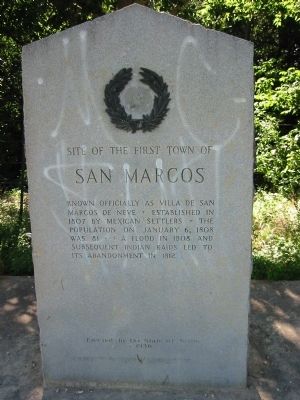
Photographed by Richard Denney, July 10, 2003
2. Site of the First Town of San Marcos Marker
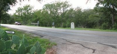
Photographed by Richard Denney
3. Site of the First Town of San Marcos Marker
Panoramic view of the marker and adjacent markers. Behind the markers is a drop off to the San Marcos River below.
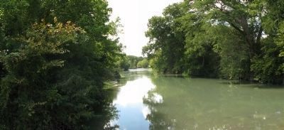
Photographed by Richard Denney
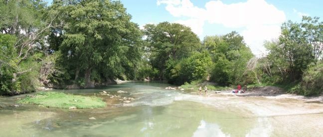
4. Panorama, San Marcos River behind the marker, looking upstream SW
Photo from the bridge where the road crosses the San Marcos.
Photographed by Richard Denney
5. Panorama, San Marcos River looking downstream to the NE
Photo from the bridge where the road crosses the San Marcos.
Photographed by James Hulse, September 20, 2020
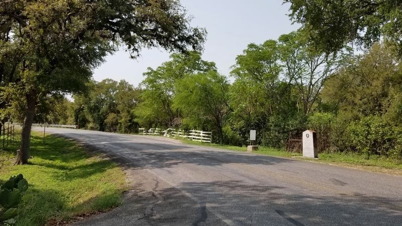
6. Site of the First Town of San Marcos Marker

Photographed by Richard Denney
7. Panorama, general area that is the site of the first San Marcos
In the photo, to the left (NE downstream) is where the road currently crosses the San Antonio River. Markers are uphill to the right (out of sight).
Credits. This page was last revised on October 7, 2020. It was originally submitted on October 2, 2013, by Richard Denney of Austin, Texas. This page has been viewed 1,880 times since then and 136 times this year. Last updated on August 6, 2014, by Michael Heinich of Austin, Texas. Photos: 1. submitted on October 7, 2020, by James Hulse of Medina, Texas. 2. submitted on October 2, 2013, by Richard Denney of Austin, Texas. 3, 4, 5. submitted on October 5, 2013, by Richard Denney of Austin, Texas. 6. submitted on October 7, 2020, by James Hulse of Medina, Texas. 7. submitted on October 5, 2013, by Richard Denney of Austin, Texas. • Bernard Fisher was the editor who published this page.
