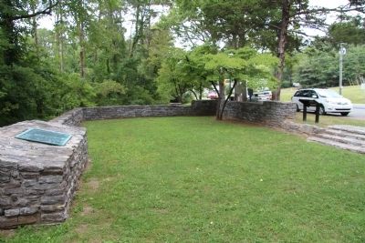
Ringgold in Catoosa County, Georgia — The American South (South Atlantic)
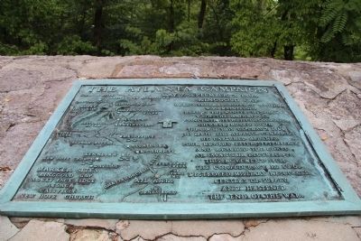
The Atlanta Campaign
Ringgold Gap
Here a Federal advance position
was maintained
during the winter 1863-1864
with the main force
concentrated at Chattanooga.
Sherman moved south
through this Gap, May 7, 1864
to begin the Atlanta Campaign.
He captured Atlanta
four months later, September 2,
and reached the coast
at Savannah, December 21.
This movement split
the Confederacy in two,
destroyed military resources,
centers of supply,
and hastened
the end of the war.
Topics. This historical marker is listed in this topic list: War, US Civil. A significant historical year for this entry is 1864.
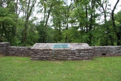
Location. 34° 54.572′ N, 85° 6.174′ W. Marker is in Ringgold, Georgia, in Catoosa County. Marker is on U.S. 41 east of Crabtree Drive, on the right when traveling east. This marker is in a small roadside park that contains a pavilion erected by the WPA in the 1930s. Touch for map. Marker is in this post office area: Ringgold GA 30736, United States of America. Touch for directions.
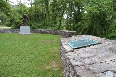
Other nearby markers. At least 8 other markers are within walking distance of this marker. General Patrick R. Cleburne Memorial (here, next to this marker); a different marker also named Atlanta Campaign (here, next to this marker); The Battle of Ringgold Gap (a few steps from this marker); Confederate General Patrick Cleburne's Emancipation Proposal (a few steps from this marker); Ringgold Gap (a few steps from this marker); Ireland's New York Brigade (about 300 feet away, measured in a direct line); Historic Ringgold (about 600 feet away); The Great Locomotive Chase (approx. half a mile away). Touch for a list and map of all markers in Ringgold.
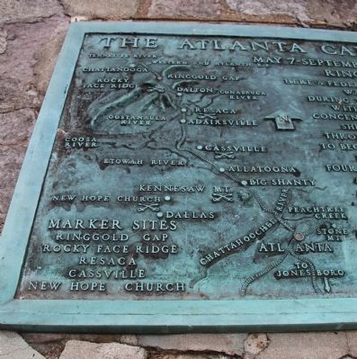
More about this marker. The historical marker itself is affixed to the surface, of the back wall, of the WPA pavilion, and contains a bronze map showing the Atlanta Campaign, from the Ringgold Gap to Atlanta. The WPA pavilion is situated in the Ringgold Gap, which is a gap in a mountain ridge where the Confederate Army of the Tennessee positioned itself to take advantage of the local topography, in an attempt to slow down the Union Army, in order to gain more time for the retreating Confederate Army, after the Battle of Missionary Ridge.
Credits. This page was last revised on June 16, 2016. It was originally submitted on August 6, 2014, by Dale K. Benington of Toledo, Ohio. This page has been viewed 658 times since then and 13 times this year. Photos: 1, 2, 3, 4, 5. submitted on August 6, 2014, by Dale K. Benington of Toledo, Ohio.
