Portage in Livingston County, New York — The American Northeast (Mid-Atlantic)
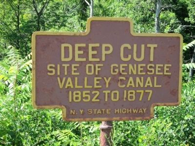
Deep Cut
Photographed by Anton Schwarzmueller, July 24, 2014
1. Deep Cut Marker
Site of Genesee Valley Canal 1852 to 1877
Erected by New York State Highway Department.
Topics. This historical marker is listed in this topic list: Waterways & Vessels. A significant historical year for this entry is 1852.
Location. 42° 34.607′ N, 77° 59.01′ W. Marker is in Portage, New York, in Livingston County. It is on Portage Street (New York State Route 436 at milepost 3.4), 0.4 miles east of Short Tract Road, on the left when traveling east. Touch for map. Marker is in this post office area: Hunt NY 14846, United States of America. Touch for directions.

Regionally, this marker is in Upstate New York, specifically in Western New York, in the Finger Lakes, and in the Rochester Metropolitan Area. It is also in the American Northeast and in the Mid-Atlantic. Globally, it is in North America, the Western Hemisphere, the Western World, and the Anglosphere. Historically, it finds itself in what was once the Haudenosaunee (Iroquois) Confederacy, New Netherland, and one of the original Thirteen Colonies.
Other nearby markers. At least 8 other markers are within 2 miles of this marker, measured as the
this page online
More about this marker. Marker is painted in the colors for signage in Letchworth State Park because the cut is park land. There is a wide shoulder area just west of the marker.
Also see . . .
1. Letchworth State Park. New York State Office of Parks, Recreation and Historic Preservation website entry (Submitted on August 7, 2014, by Anton Schwarzmueller of Wilson, New York.)
2. Genesee Valley Canal. Glimpses of the Past website entry:
(Submitted on August 7, 2014, by Anton Schwarzmueller of Wilson, New York.)
3. Genesee Valley Canal. Wikipedia entry (Submitted on August 7, 2014, by Anton Schwarzmueller of Wilson, New York.)
Photographed by Anton Schwarzmueller, July 24, 2014
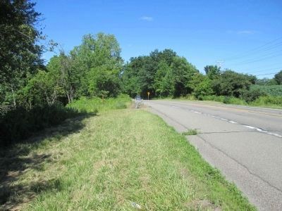
2. Eastward View Deep Cut Marker
Use the guard rail to help find the marker, at left, just past the cut grass.
Photographed by Anton Schwarzmueller, July 24, 2014
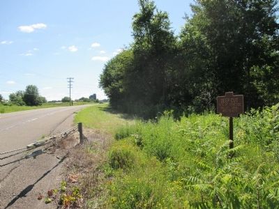
3. Westward View Deep Cut Marker
Photographed by Anton Schwarzmueller, July 24, 2014
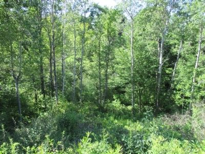
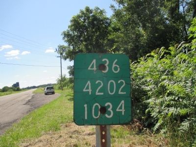
4. Deep Cut
There is no deep cut view due to trees.
Photographed by Anton Schwarzmueller, July 24, 2014
5. Deep Cut Shoulder
There is a wide shoulder west of the marker to park.
Credits. This page was last revised on December 29, 2021. It was originally submitted on August 7, 2014, by Anton Schwarzmueller of Wilson, New York. This page has been viewed 972 times since then and 41 times this year. Photos: 1, 2, 3, 4, 5. submitted on August 7, 2014, by Anton Schwarzmueller of Wilson, New York. • Bill Pfingsten was the editor who published this page.
