Alabama in Genesee County, New York — The American Northeast (Mid-Atlantic)
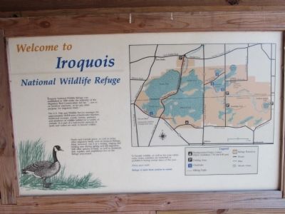
Welcome to Iroquois National Wildlife Refuge
Inscription.
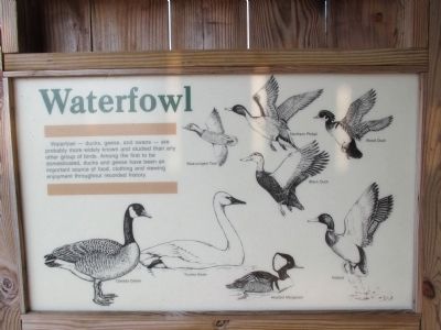
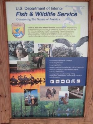
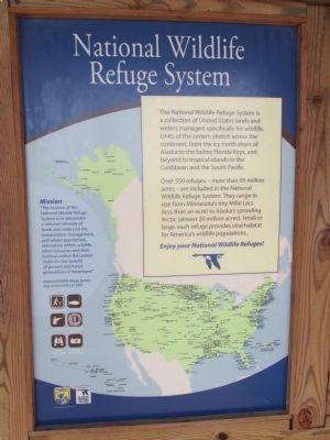
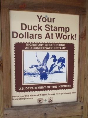
Iroquois National Wildlife Refuge was established in 1958 under the authority of the Migratory Bird Conservation Act for "...use as an inviolate sanctuary, or for any other purpose, for migratory birds." The U.S. Fish and Wildlife Service manages the approximately 10.818 acres of freshwater marshes, hardwood swamps, woods, forests, pastures, and meadows as wildlife habitat for a variety of animals. It is part of a nationwide network of lands and waters set aside to benefit wildlife. Ducks and Canada geese, as well as many other migratory birds, nest on Iroquois Refuge. Most, however, use it as a resting, staging and feeding area during spring and fall migration. Still other species of birds, as well as mammals, fish, reptiles, and amphibians live on the Refugee year-round.
To benefit wildlife, as well as for your own safety, some visitor activities as restricted or prohibited during certain times of the year. Enjoy your visit! Refuge is open form sunrise to sunset.
Topics. This historical marker is listed in these topic lists: Animals • Environment. A significant historical year for this entry is 1958.
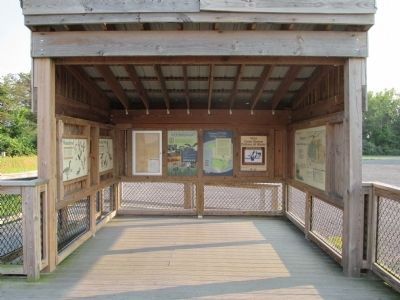
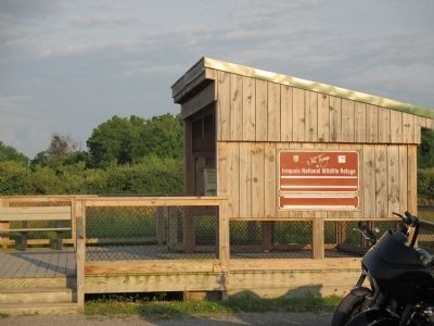
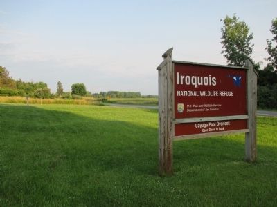
Location. 43° 7.109′ N, 78° 26.546′ W. Marker is in Alabama, New York, in Genesee County. Marker can be reached from Lewiston Road (New York State Route 77) half a mile south of Salt Works Road (County Route 43), on the right when traveling west. Marker is located in a shelter at the Cayuga Pool Overlook parking area; cannot be seen from road. Touch for map. Marker is in this post office area: Middleport NY 14105, United States of America. Touch for directions.
Other nearby markers. At least 8 other markers are within 5 miles of this marker, measured as the crow flies. Olsen Marsh (about 400 feet away, measured in a direct line); Feeder Canal (approx. half a mile away); Charles Stielow (approx. 2 miles away); Trinity Complex (approx. 3.8 miles away); Treaty of 1857 (approx. 4 miles away); Basom Plot (approx. 4.1 miles away); Belva Lockwood (approx. 4.3 miles away); Neuter Fort (approx. 4˝ miles away). Touch for a list and map of all markers in Alabama.
Also see . . . Iroquois National Wildlife Refuge. U.S. Fish and Wildlife Service website entry (Submitted on August 17, 2014, by Anton Schwarzmueller of Wilson, New York.)
Credits. This page was last revised on January 2, 2022. It was originally submitted on August 17, 2014, by Anton Schwarzmueller of Wilson, New York. This page has been viewed 504 times since then and 20 times this year. Photos: 1, 2, 3, 4, 5, 6, 7, 8, 9, 10, 11, 12. submitted on August 17, 2014, by Anton Schwarzmueller of Wilson, New York. • Bill Pfingsten was the editor who published this page.
