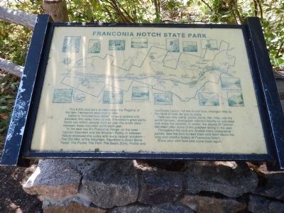
Franconia Notch State Park
This 6,500 acre park is often called the Flagship of the New Hampshire state park system.
Called a "mountainous defile" by early settlers and travelers, this valley today is one of America's great parks. Some two million people from all over the world pass between these mountain walls each year.
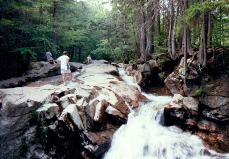
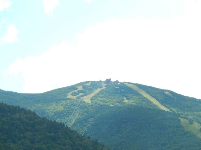
To the east lies the Franconia Range, on the west Cannon Mountain and the Kinsman Peaks, in between Nature endowed this valley with many natural wonders--The Old Man of the Mountain, (Hawthorn's Great Stone Face); The Flume; The Pool; The Basin; Echo, Profile and Lonesome Lakes--all are found here, changed little by the hand of man, for you to enjoy.
Here you may camp, picnic, swim, fish, hike, ride the aerial tramway, photograph nature's bounty or just relax and enjoy the scenery. In winter, the slopes of Cannon Mountain offer some of the greatest skiing in the east.
Throughout the park are located many interpretive panels, take the time to read them and learn about the long and colorful history of Franconia Notch.
Enjoy your visit here and come back again.
Topics. This historical marker is listed in this topic list: Parks & Recreational Areas.
Location. 44° 5.834′ N, 71° 40.83′ W. Marker is in Franconia, New Hampshire, in Grafton County
Other nearby markers. At least 8 other markers are within 4 miles of this marker, measured as the crow flies. Eastern Brook Trout (here, next to this marker); A Bit of History (a few steps from this marker); The Flume (within shouting distance of this marker); a different marker also named The Flume (about 300 feet away, measured in a direct line); Franconia Range (about 300 feet away); Betty and Barney Hill Incident (approx. 0.8 miles away); Clark's Bridge (approx. 3.2 miles away); Quinten E. Mulleavey (approx. 3.2 miles away). Touch for a list and map of all markers in Franconia.
Credits. This page was last revised on November 24, 2019. It was originally submitted on August 21, 2014, by Bill Pfingsten of Bel Air, Maryland. This page has been viewed 495 times since then and 12 times this year. Photos: 1. submitted on August 21, 2014, by Bill Pfingsten of Bel Air, Maryland. 2. submitted on July 3, 2017, by Don Morfe of Baltimore, Maryland. 3. submitted on August 21, 2014, by Bill Pfingsten of Bel Air, Maryland.


