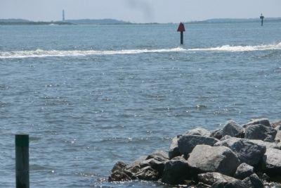
Harkers Island in Carteret County, North Carolina — The American South (South Atlantic)
Harkers Island Visitor Center at Cape Lookout National Seashore
Inscription.
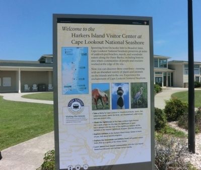
Welcome to the Harkers Island Visitor Center at Cape Lookout National Seashore
Spanning from Ocracoke Inlet to Beaufort Inlet, Cape Lookout National Seashore preserves 56 miles of undeveloped beaches, marsh, and soundside waters along the Outer Banks, including historic sites where communities of people and rescuers worked at the edge of the sea.
Now you can discover these coastlines—teeming with an abundant variety of plants and animals on the islands and in the sea. Experience the enchantment of Cape Lookout National Seashore.
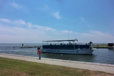
• Take a ferry to Cape Lookout or Shackleford Banks. Swim, fish, collect sea shells, watch for birds, see Shackleford’s wild horses, and visit historic sites.
• Climb the lighthouse at the Cape Lookout Light Station. Ask a park ranger for the days the lighthouse is open. Get a glimpse into the lives of the lighthouse keepers at the exhibits in the historic Lighthouse Keepers Quarters Museum.
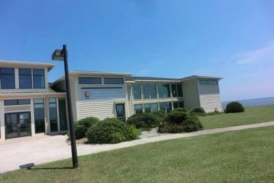
• Explore exhibits in the Harkers Island Visitor Center in front of you. Ask about special programs.
• Explore the Soundside and Willow Pond self-guided nature trails. Pick up a guide at the Visitor Center.
• Learn about Core Sound communities. Visit the Core Sound Waterfowl Museum and Heritage Center nearby.
Erected by Cape Lookout National Seashore.
Topics and series. This historical marker is listed in this topic list: Waterways & Vessels. In addition, it is included in the Lighthouses series list.
Location. 34° 41.136′ N, 76° 31.614′ W. Marker is on Harkers Island, North Carolina, in Carteret County. Marker can be reached from Island Road (County Route 1335) east of Cape Point Drive, on the left when traveling east. Touch for map. Marker is in this post office area: Harkers Island NC 28531, United States of America. Touch for directions.
Other nearby markers. At least 8 other markers are within 2 miles of this marker, measured as the crow flies. Olive Thurlow Anchor (within shouting distance of this marker); Protecting People and Ships (about 300 feet away, measured in a direct line); Estuaries of the Sound (about 300 feet away); Fort Hancock (about 300 feet away); Horizon of Islands (about 300 feet away); Rain Gardens (about 800 feet away); Cisterns (approx. 0.2 miles away); In Honor and Rememberance (approx. 1.6 miles away). Touch for a list and map of all markers in Harkers Island.
Also see . . . Cape Lookout National Seashore. National Park Service (Submitted on August 31, 2014.)
Credits. This page was last revised on June 16, 2016. It was originally submitted on August 30, 2014, by Don Morfe of Baltimore, Maryland. This page has been viewed 565 times since then and 12 times this year. Photos: 1, 2, 3, 4, 5. submitted on August 30, 2014, by Don Morfe of Baltimore, Maryland. • Bernard Fisher was the editor who published this page.
