Harkers Island in Carteret County, North Carolina — The American South (South Atlantic)
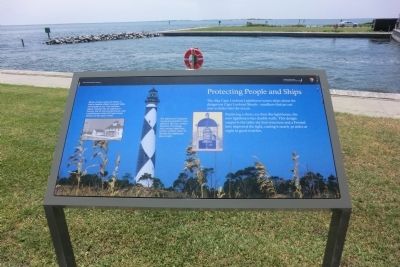
Protecting People and Ships
Photographed by Don Morfe, August 15, 2014
1. Protecting People and Ships Marker
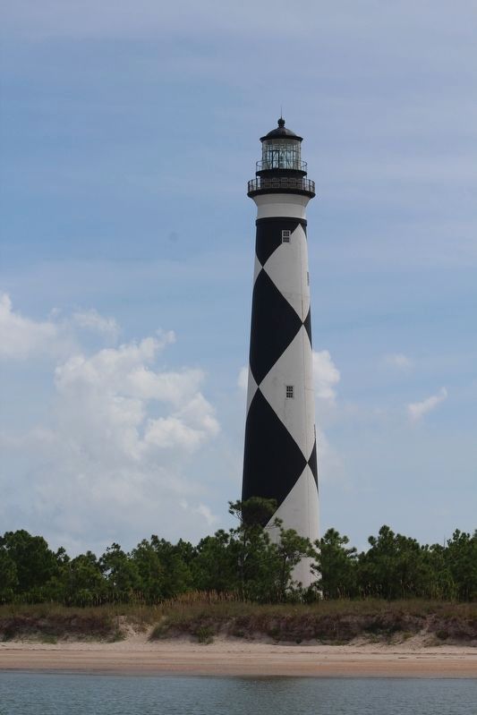
The 1859 Cape Lookout Lighthouse warns ships about the dangerous Cape Lookout Shoals—sandbars that jut out over 10 miles into the ocean.
Replacing a short, 107-foot 1812 lighthouse, the new lighthouse has double walls. This design supports the taller 163-foot structure and a Frensnel lens improved the light, casting it nearly 30 miles at night in good weather.
(captions)
(upper left) Much of Cape Lookout’s history is tied to federal efforts to protect ships and people at sea. This maritime legacy included the US Lighthouse Service, the US Life-Saving Service, an establishment of the US Coast Guard Station on the cape in 1916.
(upper center) The lighthouse’s diagonal checkerboard pattern was added in 1873 as unique daymark. This design and a unique light flash pattern enables sailors to identify the lighthouse, day or night.
Erected by Cape Lookout National Seashore.
Topics and series. This historical marker is listed in this topic list: Waterways & Vessels. In addition, it is included in the Lighthouses series list. A significant historical year for this entry is 1859.
Location. 34° 41.118′ N, 76° 31.566′ W.
this page online

Regionally, this marker is in the Coastal Plain and on the Crystal Coast. It is also in the American South, specifically in the Upper South, in the Tidewater, and on the Eastern Seaboard. Globally, it is in the North Atlantic Region, North America, the Western Hemisphere, the Western World, and the Anglosphere. Historically, it finds itself in what was once the territory of the Mississippian Culture, one of the original Thirteen Colonies, one of the Confederate States of America, and the Antebellum South.
Other nearby markers. At least 8 other markers are within 2 miles of this marker, measured as the crow flies: Estuaries of the Sound (a few steps from this marker); Horizon of Islands (within shouting distance of this marker); Olive Thurlow Anchor
Photographed by Don Morfe, August 15, 2014
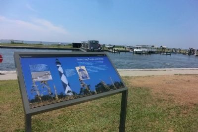
2. Protecting People and Ships Marker
Another marker is no longer nearby. Cape Lookout Lighthouse (was about 500 feet away but has been confirmed missing).
Also see . . . Cape Lookout Light Station. National Park Service Cape Lookout National Seashore website entry (Submitted on August 31, 2014.)
Photographed by Don Morfe, August 15, 2014
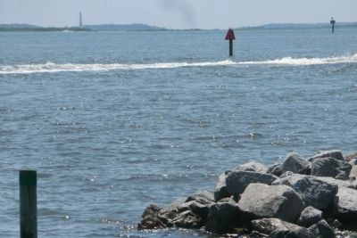
3. Cape Lookout Lighthouse in the distant
Photographed by Tom Bosse, September 21, 2021
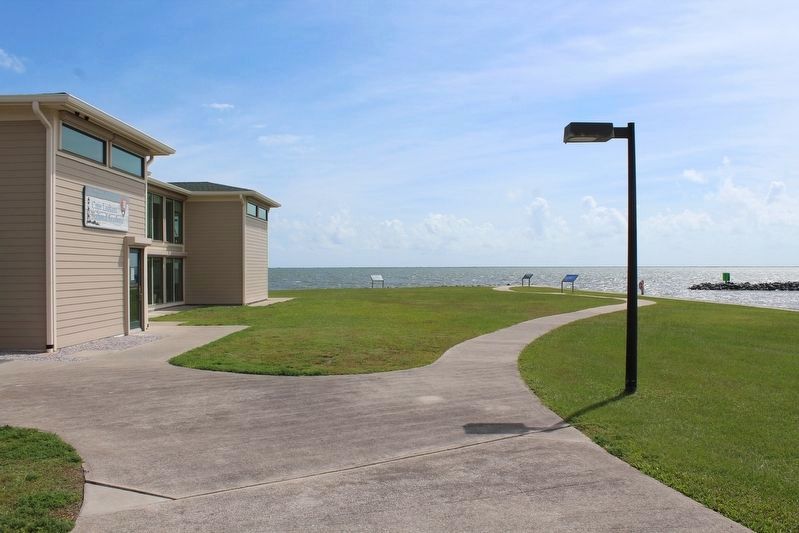
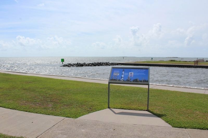
4. Protecting People and Ships Marker
Marker is on the right.
Photographed by Tom Bosse, September 21, 2021
5. Protecting People and Ships Marker
Photographed by Tom Bosse, September 21, 2021
6. Cape Lookout Lighthouse
Credits. This page was last revised on October 27, 2024. It was originally submitted on August 30, 2014, by Don Morfe of Baltimore, Maryland. This page has been viewed 484 times since then and 16 times this year. Photos: 1, 2, 3. submitted on August 30, 2014, by Don Morfe of Baltimore, Maryland. 4, 5, 6. submitted on December 27, 2022, by Tom Bosse of Jefferson City, Tennessee. • Bernard Fisher was the editor who published this page.
