Talbot Park in Norfolk, Virginia — The American South (Mid-Atlantic)
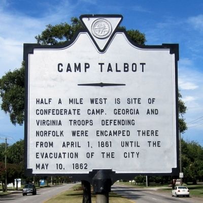
Camp Talbot
Photographed by Bernard Fisher, September 1, 2014
1. Camp Talbot Marker
Half a mile west is site of Confederate camp. Georgia and Virginia troops defending Norfolk were encamped there from April 1, 1861 until the evacuation of the city May 10, 1862
Erected by City of Norfolk.
Topics. This historical marker is listed in this topic list: War, US Civil. A significant historical month for this entry is April 1634.
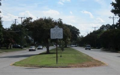
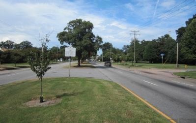
Location. 36° 54.194′ N, 76° 16.657′ W. Marker is in Norfolk, Virginia. It is in Talbot Park. It is at the intersection of Granby Street (U.S. 460) and Blake Road, in the median on Granby Street. Touch for map. Marker is in this post office area: Norfolk VA 23505, United States of America. Touch for directions.

Regionally, this marker is in Virginia’s Hampton Roads, specifically in Coastal Virginia, and in the Hampton Roads Metropolitan Area. It is also in the American South, specifically in the Upper South, in the Tidewater, and on the Eastern Seaboard. Globally, it is in the North Atlantic Region, North America, the Western Hemisphere, the Western World, and the Anglosphere. Historically, it finds itself in what was once the territory of the Mississippian Culture,
this page online
Other nearby markers. At least 8 other markers are within 2 miles of this marker, measured as the crow flies: The Norfolk 17 (approx. ¼ mile away); United States Army Memorial (approx. 1.4 miles away); Tsodilo Hills (approx. 1.6 miles away); Stanley Crane (approx. 1.6 miles away); Village Life: Mokoros (approx. 1.6 miles away); African Village Garden (approx. 1.6 miles away); Village Life: Survival Strategies (approx. 1.6 miles away); Village of Xaxaba: Island of the Tall Trees (approx. 1.7 miles away). Touch for a list and map of all markers in Norfolk.
Photographed by Bernard Fisher, September 1, 2014
2. Granby Street (facing south)
Photographed by Bernard Fisher, September 1, 2014
3. Granby Street (facing north)
Credits. This page was last revised on February 1, 2023. It was originally submitted on September 2, 2014, by Bernard Fisher of Richmond, Virginia. This page has been viewed 2,253 times since then and 130 times this year. Photos: 1, 2, 3. submitted on September 2, 2014, by Bernard Fisher of Richmond, Virginia.
