Suffolk, Virginia — The American South (Mid-Atlantic)
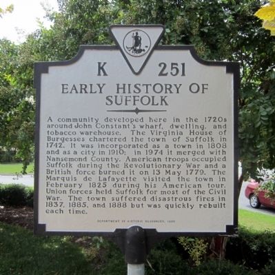
Early History of Suffolk
Erected 1998 by Department of Historic Resources. (Marker Number K-251.)
Topics and series. This historical marker is listed in these topic lists: Colonial Era • Settlements & Settlers • War, US Civil • War, US Revolutionary. In addition, it is included in the Lafayette’s Farewell Tour, and the Virginia Department of Historic Resources (DHR) series lists. A significant historical month for this entry is February 1825.
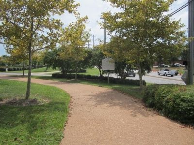
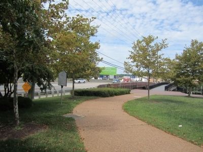
Location. 36° 44.333′ N, 76° 34.961′ W. Marker is in Suffolk, Virginia. Marker can be reached from North Main Street (Virginia Route 32) north of East Constance Road (Business U.S. 460), on the right when traveling north. Touch for map. Marker is at or near this postal address: 100 E Constance Rd, Suffolk VA 23434, United States of America. Touch for directions.
Other nearby markers. At least 8 other markers are within walking distance of this marker. Riddick’s Folly (about 700 feet away, measured in a direct line); Cedar Hill Cemetery (about 700 feet away); First Suffolk Church (approx. 0.2 miles away); The Site of the First Church (approx. 0.2 miles away); World War I Monument (approx. 0.3 miles away); Korea and Vietnam Wars Memorial (approx. 0.3 miles away); World War II Memorial (approx. 0.3 miles away); Spanish War Veterans Memorial (approx. 0.3 miles away). Touch for a list and map of all markers in Suffolk.
Also see . . . History of Suffolk, Virginia. Wikipedia (Submitted on September 2, 2014.)
Credits. This page was last revised on February 1, 2023. It was originally submitted on September 2, 2014, by Bernard Fisher of Richmond, Virginia. This page has been viewed 1,119 times since then and 80 times this year. Photos: 1, 2, 3. submitted on September 2, 2014, by Bernard Fisher of Richmond, Virginia.


