New Bern in Craven County, North Carolina — The American South (South Atlantic)
Battle of New Bern
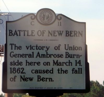
Photographed by Don Morfe, August 15, 2014
1. Battle of New Bern Marker
Erected 1971 by State Department of Archives and History. (Marker Number C-11.)
Topics and series. This historical marker is listed in this topic list: War, US Civil. In addition, it is included in the North Carolina Division of Archives and History series list. A significant historical month for this entry is March 1840.
Location. 35° 3.063′ N, 77° 0.901′ W. Marker is in New Bern, North Carolina, in Craven County. It is at the intersection of U.S. 70 and Taberna Way, on the right when traveling south on U.S. 70. Touch for map. Marker is in this post office area: New Bern NC 28560, United States of America. Touch for directions.

Regionally, this marker is in North Carolina’s Coastal Plain. It is also in the American South, specifically in the Upper South, in the Tidewater, and on the Eastern Seaboard. Globally, it is in the North Atlantic Region, North America, the Western Hemisphere, the Western World, and the Anglosphere. Historically, it finds itself in what was once the territory of the Mississippian Culture,
this page online
Other nearby markers. At least 8 other markers are within walking distance of this marker: A different marker also named Battle of New Bern (approx. 0.2 miles away); The Cost of War (approx. 0.2 miles away); Artillery at New Bern (approx. 0.2 miles away); From Annapolis to Roanoke (approx. ¼ mile away); Opening Volleys (approx. ¼ mile away); Advance From Slocum's Creek (approx. ¼ mile away); New Bern Battlefield Park (approx. ¼ mile away); The Burnside Expedition (approx. ¼ mile away). Touch for a list and map of all markers in New Bern.
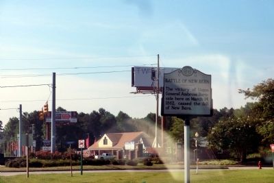
Photographed by Don Morfe, August 15, 2014
2. Battle of New Bern Marker
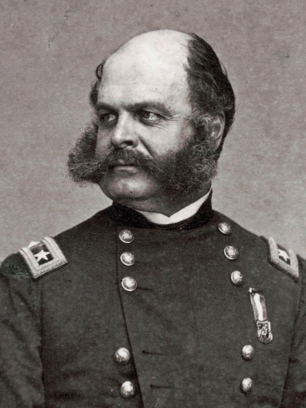
Library of Congress
3. Major General Ambrose Burnside
by Brady's National Photographic Portrait Galleries, Published by E. & H.T. Anthony, in 1863.
Credits. This page was last revised on March 17, 2024. It was originally submitted on September 9, 2014, by Don Morfe of Baltimore, Maryland. This page has been viewed 938 times since then and 52 times this year. Photos: 1, 2. submitted on September 9, 2014, by Don Morfe of Baltimore, Maryland. 3. submitted on September 14, 2020, by Allen C. Browne of Silver Spring, Maryland. • Bernard Fisher was the editor who published this page.
Editor’s want-list for this marker. Photos without reflections. • Can you help?
