New Bern in Craven County, North Carolina — The American South (South Atlantic)
New Bern Battlefield Park
Photographed by Don Morfe, August 15, 2014
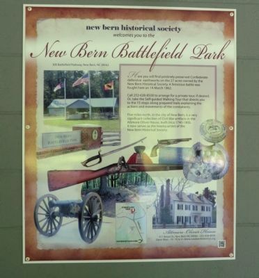
1. New Bern Battlefield Park Marker
Marker is installed on the outer wall of the Visitor Center
New Bern Battlefield Park
300 Battlefield Parkway, New Bern, NC 28562
Here you will find pristinely preserved Confederate defensive earthworks on the 27 acres owned by the New Bern Historical Society. A ferocious battle was fought here on 14 March 1862.
Call 252-638-8558 to arrange for a private tour, if desired. Or, take the Self-guided Walking Tour that directs you to the 15 spots along prepared trails explaining the actions and movements of the combatants.
Five miles north, in the city of New Bern, is a very significant collection of Civil War artifacts in the Attmore-Oliver House, built circa 1790-1800. It now serves as the headquarters of the New Bern Historical Society.
Erected by New Bern Historical Society.
Topics. This historical marker is listed in this topic list: War, US Civil. A significant historical date for this entry is March 14, 1862.
Location. 35° 2.874′ N, 77° 0.946′ W. Marker is in New Bern, North Carolina, in Craven County. It can be reached from Battlefield Parkway south of Taberna Way. Touch for map. Marker is at or near this postal address: 300
this page online

Regionally, this marker is in the Coastal Plain. It is also in the American South, specifically in the Upper South, in the Tidewater, and on the Eastern Seaboard. Globally, it is in the North Atlantic Region, North America, the Western Hemisphere, the Western World, and the Anglosphere. Historically, it finds itself in what was once the territory of the Mississippian Culture, one of the original Thirteen Colonies, one of the Confederate States of America, and the Antebellum South.
Other nearby markers. At least 8 other markers are within walking distance of this marker: The Burnside Expedition (here, next to this marker); Opening Volleys (here, next to this marker); Advance From Slocum's Creek (here, next to this marker); From Annapolis to Roanoke (here, next to this marker); Breakthrough at the Brickyard (a few steps from this marker); Final Stand (a few steps from this marker); Artillery at New Bern (a few steps from this marker); Battle of New Bern (within shouting distance of this marker). Touch for a list and map of all markers
Photographed by Don Morfe, August 15, 2014
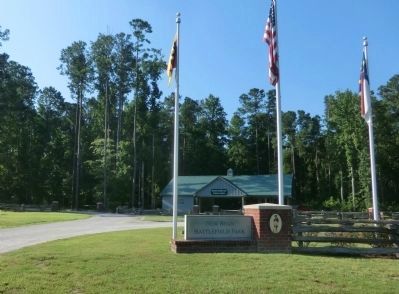
2. New Bern Battlefield Park Entrance
Also see . . . New Bern Battlefield Park. New Bern Historical Society (Submitted on September 9, 2014.)
Photographed by Don Morfe, August 15, 2014
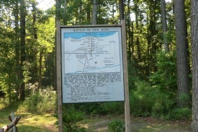
3. New Bern Battlefield Park Map
Photographed by Don Morfe, August 15, 2014
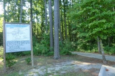
4. New Bern Battlefield Park Map with trail in the background
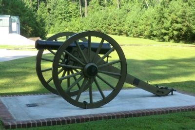
Photographed by Don Morfe, August 15, 2014
5. New Bern Battlefield Park Cannon
Credits. This page was last revised on June 16, 2016. It was originally submitted on September 9, 2014, by Don Morfe of Baltimore, Maryland. This page has been viewed 1,197 times since then and 56 times this year. Photos: 1, 2, 3, 4, 5. submitted on September 9, 2014, by Don Morfe of Baltimore, Maryland. • Bernard Fisher was the editor who published this page.
