Beaufort in Carteret County, North Carolina — The American South (South Atlantic)
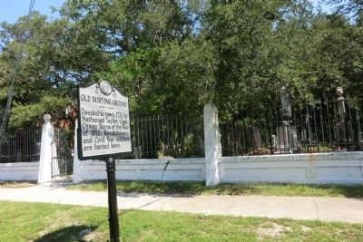
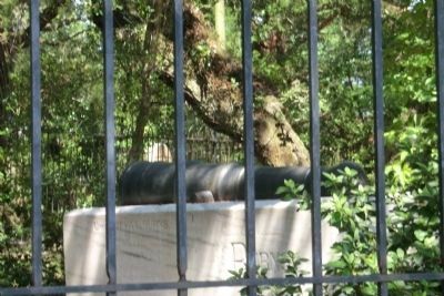
Old Burying Ground
Erected 1965 by Archives and Highway Departments. (Marker Number C-43.)
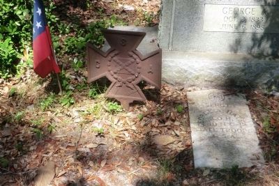
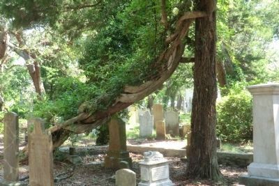
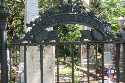
Topics and series. This historical marker is listed in these topic lists: Cemeteries & Burial Sites • War of 1812 • War, US Civil • War, US Revolutionary. In addition, it is included in the North Carolina Division of Archives and History series list. A significant historical year for this entry is 1731.
Location. 34° 43.086′ N, 76° 39.834′ W. Marker is in Beaufort, North Carolina, in Carteret County. Marker is on Ann Street west of Craven Street, on the right when traveling west. Touch for map. Marker is at or near this postal address: 417 Ann Street, Beaufort NC 28516, United States of America. Touch for directions.
Other nearby markers. At least 8 other markers are within walking distance of this marker. Beaufort (about 400 feet away, measured in a direct line); Our Confederate Heroes (about 600 feet away); Cateret County Gold Star Families Memorial Monument (about 700 feet away); Whale Fishery (about 700 feet away); Salt Works (about 700 feet away); Combat Wounded Veterans (about 700 feet away); Carteret County Veterans Memorial (about 700 feet away); John G. Newton (about 700 feet away). Touch for a list and map of all markers in Beaufort.
Credits. This page was last revised on June 24, 2021. It was originally submitted on September 10, 2014, by Don Morfe of Baltimore, Maryland. This page has been viewed 582 times since then and 28 times this year. Photos: 1, 2, 3, 4, 5, 6, 7. submitted on September 10, 2014, by Don Morfe of Baltimore, Maryland. • Bernard Fisher was the editor who published this page.

