Wilmington in New Hanover County, North Carolina — The American South (South Atlantic)
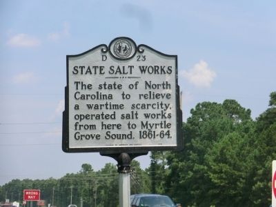
State Salt Works
Erected 1976 by Division of Archives and History. (Marker Number D-23.)
Topics and series. This historical marker is listed in these topic lists: Industry & Commerce • War, US Civil. In addition, it is included in the North Carolina Division of Archives and History series list.
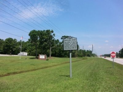
Location. 34° 9.428′ N, 77° 53.529′ W. Marker is in Wilmington, North Carolina, in New Hanover County. Marker is at the intersection of South College Road (State Highway 132) and Jasmine Cove Way, on the right when traveling south on South College Road. Touch for map. Marker is in this post office area: Wilmington NC 28412, United States of America. Touch for directions.
Other nearby markers. At least 8 other markers are within 6 miles of this marker, measured as the crow flies. Last Stand At Wilmington (approx. 2.3 miles away); Fall of Wilmington (approx. 3 miles away); North Carolina Shipbuilding Co. (approx. 3.4 miles away); Edwin A. Anderson (approx. 3.7 miles away); Charles Town (approx. 5.7 miles away); United States Colored Troops (approx. 5.8 miles away); Address by President Lincoln (approx. 5.8 miles away); Wilmington National Cemetery (approx. 5.9 miles away). Touch for a list and map of all markers in Wilmington.
Credits. This page was last revised on June 30, 2021. It was originally submitted on September 15, 2014, by Don Morfe of Baltimore, Maryland. This page has been viewed 587 times since then and 45 times this year. Photos: 1, 2. submitted on September 15, 2014, by Don Morfe of Baltimore, Maryland. • Bernard Fisher was the editor who published this page.

