Castine in Hancock County, Maine — The American Northeast (New England)
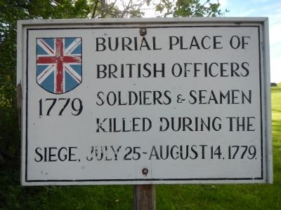
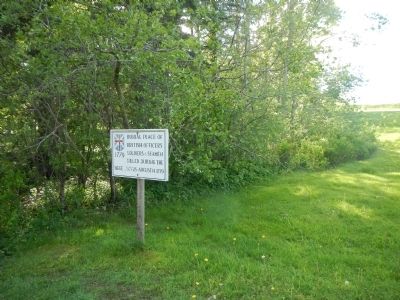
Burial Place of British officers,
Topics. This historical marker is listed in these topic lists: Cemeteries & Burial Sites • War, US Revolutionary. A significant historical year for this entry is 1779.
Location. 44° 23.402′ N, 68° 48.286′ W. Marker is in Castine, Maine, in Hancock County. Marker is on Battle Avenue (Maine Route 166) near Pleasant Street, on the left when traveling south. Touch for map. Marker is at or near this postal address: 124 Battle Avenue, Castine ME 04421, United States of America. Touch for directions.
Other nearby markers. At least 8 other markers are within 8 miles of this marker, measured as the crow flies. Fort George (within shouting distance of this marker); Fort George & the Penobscot Expedition (within shouting distance of this marker); Line of Argyle Street (approx. 0.3 miles away); Fort Pownall (approx. 5.4 miles away); Fort Pownall, 1759-1775 (approx. 5.4 miles away); Fort Point State Park (approx. 5.4 miles away); The Home of a Hero / La maison d'un héros (approx. 7.2 miles away); The Growth of Ship Building: Isaac Carver / Le développement des chantiers navals : Isaac Carver (approx. 7½ miles away). Touch for a list and map of all markers in Castine.
Credits. This page was last revised on June 16, 2016. It was originally submitted on September 15, 2014, by Barry Swackhamer of Brentwood, California. This page has been viewed 507 times since then and 19 times this year. Photos: 1, 2. submitted on September 15, 2014, by Barry Swackhamer of Brentwood, California. • Bill Pfingsten was the editor who published this page.

