Greenwood in Leflore County, Mississippi — The American South (East South Central)
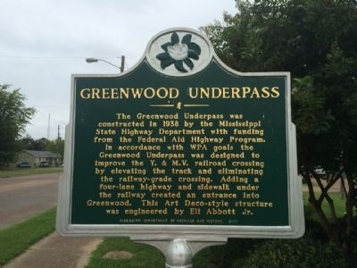
Greenwood Underpass
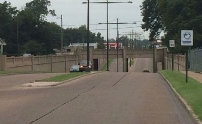
The Greenwood Underpass was constructed in 1938 by the Mississippi State Highway Department with funding from the Federal Aid Highway Program. In accordance with WPA goals the Greenwood Underpass was designed to improve the Y. & M.V. railroad crossing by elevating the track and eliminating the railway-grade crossing. Adding a four-lane highway and sidewalk under the railway created an entrance into Greenwood. This Art Deco-style structure was engineered by Eli Abbott Jr.
Erected 2010 by the Mississippi Department of Archives and History.
Topics and series. This historical marker is listed in these topic lists: Architecture • Bridges & Viaducts • Railroads & Streetcars • Roads & Vehicles. In addition, it is included in the Art Deco, and the Mississippi State Historical Marker Program series lists. A significant historical year for this entry is 1938.
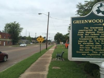
Location. 33° 30.622′ N, 90° 10.695′ W. Marker is in Greenwood, Mississippi, in Leflore County. Marker is at the intersection of Main Street and Avenue D, on the right when traveling north on Main Street. Touch for map. Marker is at or near this postal address: 1300 Main Street, Greenwood MS 38930, United States of America. Touch for directions.
Other nearby markers. At least 8 other markers are within walking distance of this marker. Elks Hart Lodge No. 640 (approx. ¼ mile away); Endesha Ida Mae Holland (approx. half a mile away); Emmett Till (approx. half a mile away); Furry Lewis (approx. half a mile away); Greenwood's First Artesian Well (approx. half a mile away); Baptist Town (approx. 0.6 miles away); Battery 'C' (approx. 0.6 miles away); Charles Edward Wright (approx. 0.7 miles away). Touch for a list and map of all markers in Greenwood.
Credits. This page was last revised on October 5, 2020. It was originally submitted on September 16, 2014, by Mark Hilton of Montgomery, Alabama. This page has been viewed 632 times since then and 48 times this year. Photos: 1, 2, 3. submitted on September 16, 2014, by Mark Hilton of Montgomery, Alabama. • Bernard Fisher was the editor who published this page.


