Clyo in Effingham County, Georgia — The American South (South Atlantic)
Old Mount Pleasant
»——→
Photographed by Mike Stroud, 2009
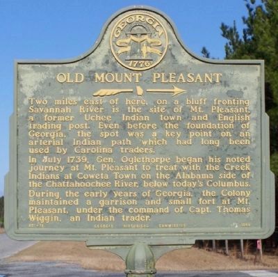
1. Old Mount Pleasant Marker
Two miles east of here, on a bluff fronting Savannah River, is the site of Mt. Pleasant, a former Uchee Indian town and English trading post. Even before the foundation of Georgia, the spot was a key point on an arterial Indian path which had long been used by Carolina traders.
In July 1739, Gen. Oglethorpe began his noted journey at Mt. Pleasant to treat with the Creek Indians at Coweta Town on the Alabama side of the Chattahoochee River, below today's Columbus. During the early years of Georgia, the Colony maintained a garrison and small fort at Mt. Pleasant, under the command of Capt. Thomas Wiggin, an Indian trader.
Erected 1959 by Georgia Historical Commission. (Marker Number 051-18.)
Topics and series. This historical marker is listed in these topic lists: Colonial Era • Settlements & Settlers. In addition, it is included in the Georgia Historical Society series list. A significant historical month for this entry is July 1739.
Location. 32° 31.774′ N, 81° 19.905′ W. Marker is in Clyo, Georgia, in Effingham County. It is at the intersection of Clyo-Kildare Road (County Route 81) and Taylor Chapel Road, on the right
this page online

Regionally, this marker is on the Coastal Plain and in Greater Savannah. It is also in the American South and specifically in the Deep South. Globally, it is in North America, the Western Hemisphere, the Western World, and the Anglosphere. Historically, it finds itself in what was once New Spain, the territory of the Mississippian Culture, one of the original Thirteen Colonies, one of the Confederate States of America, and the Antebellum South.
Other nearby markers. At least 8 other markers are within 11 miles of this marker, measured as the crow flies: Early Baptists At Tuckasee King (approx. 3.6 miles away); Two Historic Savannah River Ferries (approx. 4.9 miles away); John Adam Treutlen (approx. 5.1 miles away); Robertville (approx. 8.7 miles away in South Carolina); J. Lamar Brantley Road (approx. 9.4 miles away in South Carolina); Bethany (approx. 9.8 miles away); North Newington Baptist Church (approx. 10.2 miles away); Springfield Central High School (approx.
Photographed by Mike Stroud, 2008
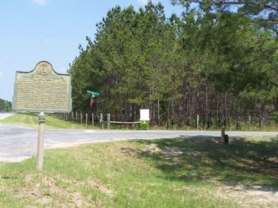
2. Old Mount Pleasant Marker
Photographed by Mike Stroud, 2008
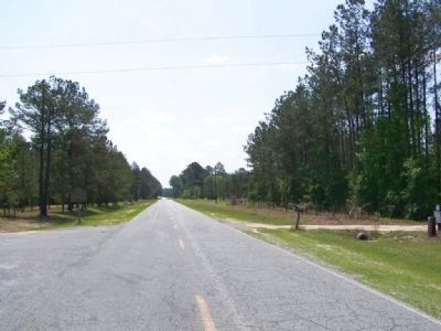
3. Old Mount Pleasant Marker at left, looking southeast along Kildare-Clyo Road
Credits. This page was last revised on June 14, 2020. It was originally submitted on May 18, 2008, by Mike Stroud of Bluffton, South Carolina. This page has been viewed 2,998 times since then and 86 times this year. Photos: 1. submitted on February 19, 2009, by Mike Stroud of Bluffton, South Carolina. 2, 3. submitted on May 18, 2008, by Mike Stroud of Bluffton, South Carolina. • Craig Swain was the editor who published this page.
