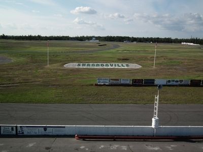
Near Shannonville in Hastings County, Ontario — Central Canada (North America)
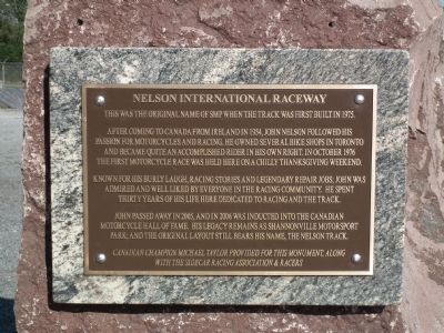
Nelson International Raceway
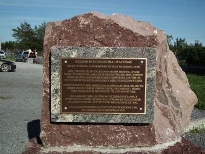
This was the original name of SMP when the track was first built in 1975. After coming to Canada from Ireland in 1954, John Nelson followed his passion for motorcycles and racing. He owned several bike shops in Toronto and became quite an accomplished rider in his own right. In October 1976 the first motorcycle race was held here on a chilly Thanksgiving weekend.
Known for his burly laugh, racing stories and legendary repair jobs, John was admired and well liked by everyone in the racing community. He spent thirty years of his life here dedicated to racing and the track.
John passed away in 2005, and in 2006 was inducted into the Canadian Motorcycle Hall of Fame. His legacy remains as Shannonville Motorsports Park; and the original layout still bears his name, the Nelson track.
Erected by Canadian Champion Michael Taylor & Sidecar Racing Association and racers.
Topics. This historical marker is listed in these topic lists: Man-Made Features • Sports. A significant historical month for this entry is October 1976.
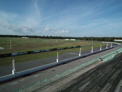
Location. 44° 13.487′ N, 77° 9.62′ W. Marker is near Shannonville, Ontario, in Hastings County. Marker can be reached from Old Highway #2 (Provincial Highway 2) 1.1 kilometers west of Wyman's Road. Shannonville is one of the world's most versatile and safest motorsport parks. It's unique design offers advantages to the public and industry that cannot be found anywhere else. Use of the facility by professional race teams, car & motorcycle racing schools (including FAST riding school), clubs, high performance car & motorcycle street-oriented schools, industry & media for vehicle testing, T.V. programs & commercial production, keeps the park busy every day of the week! Shannonville Motorsports Park is located just over 2 hours east of Toronto and 3 hours west of Montréal just off the main highway (401). Touch for map. Marker is at or near this postal address: 7047 Old Hwy 2, Shannonville ON K0K 3A0, Canada. Touch for directions.
Other nearby markers. At least 2 other markers are within 23 kilometers of this marker, measured as the crow flies. The Royal Union Flag (approx. 21.5 kilometers away); Bay of Quinte Loyalist Settlement (approx. 21.5 kilometers away).
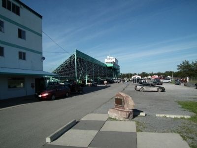
More about this marker. The marker is located near pit lane just behind the main control tower. It is only accessible when the park is open.
Credits. This page was last revised on January 24, 2022. It was originally submitted on August 8, 2011, by Kevin Craft of Bedford, Quebec. This page has been viewed 731 times since then and 15 times this year. Last updated on October 7, 2014, by Kevin Craft of Bedford, Quebec. Photos: 1, 2, 3, 4, 5. submitted on August 8, 2011, by Kevin Craft of Bedford, Quebec. • Bill Pfingsten was the editor who published this page.
