Mead in Warren County, Pennsylvania — The American Northeast (Mid-Atlantic)
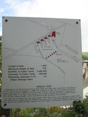
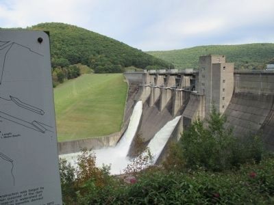
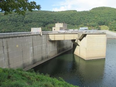
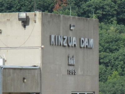
Kinzua Dam
Length of Dam.......................1,897'
Maximum Height of Dam........179'
Earthfill, in Cubic Yards..3,000,000
Concrete, in Cubic Yards...500,000
Penstocks, Diameter in Ft.........19'
(Pipes Though Dam)
Spillway
204Ft. Length
18-20 Ft. Water Depth
The total cost of construction was approximately $108 million. Kinzua more than paid for itself in 1972 when tropical storm Agnes dumped continual heavy rains on the watershed, bringing the reservoir to within three feet of its maximum storage capacity. Over $247 million in downstream damages were prevented.
Topics. This historical marker is listed in these topic lists: Charity & Public Work • Man-Made Features • Waterways & Vessels. A significant historical year for this entry is 1965.
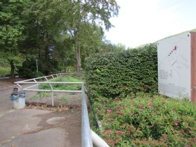
Location. 41° 50.274′ N, 79° 0.312′ W. Marker is in Mead, Pennsylvania, in Warren County. Marker can be reached from Kinzua Road (Pennsylvania Route 59) 2.4 miles east of Grand Army of the Republic Highway (U.S. 6). Marker is on a public walkway parallel to PA Route 59. Touch for map. Marker is at or near this postal address: 1205 Kinzua Road, Warren PA 16365, United States of America. Touch for directions.
Other nearby markers. At least 8 other markers are within 8 miles of this marker, measured as the crow flies. The Allegheny River Watershed (approx. 0.6 miles away); Seneca Crossing (approx. 4.4 miles away); Conewango (approx. 7 miles away); Warren County (approx. 7.3 miles away); Struthers-Wetmore-Schimmelfeng House (approx. 7.4 miles away); Struthers Library Building (approx. 7.4 miles away); Warren Suspension Bridge (approx. 7.4 miles away); Soldiers' and Sailors' Monument (approx. 7.4 miles away).
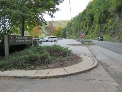
More about this marker. A free parallel parking lot is on the reservoir side of the dam.
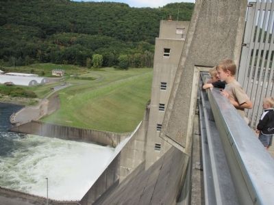
Regarding Kinzua Dam. The small segment of the top of the dam currently open to the public, during certain hours, was reduced after Sept. 11, 2001, and the roadway to the base of the dam was closed to pedestrian viewers. A small but very nice and interesting visitor center is located just downstream with plenty of free parking. Visitor Center hours are very limited after Labor Day. A relatively small circular reservoir is located on the opposite side of PA 59 on top of the mountain. It is visible by satellite image. During hours of low electricity demand, water is pumped from the Allegheny reservoir to the small mountaintop reservoir, then released back to the Allegheny Reservoir to generate power during hours of high demand.
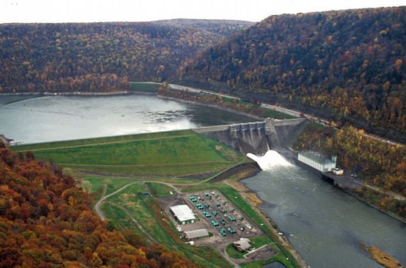
via US Army Corps of Engineers, unknown
3. Kinzua Dam & Allegheny Reservoir
US Army Corps of Engineers
Pittsburgh District website entry
Click for more information.
Click for more information.
Credits. This page was last revised on December 31, 2021. It was originally submitted on October 7, 2014, by Anton Schwarzmueller of Wilson, New York. This page has been viewed 650 times since then and 76 times this year. Photos: 1, 2. submitted on October 7, 2014, by Anton Schwarzmueller of Wilson, New York. 3. submitted on December 31, 2021, by Larry Gertner of New York, New York. 4, 5, 6, 7, 8, 9. submitted on October 7, 2014, by Anton Schwarzmueller of Wilson, New York. • Bill Pfingsten was the editor who published this page.
