Haskell in Muskogee County, Oklahoma — The American South (West South Central)
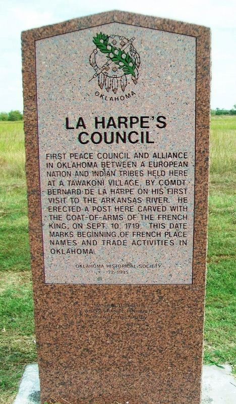
La Harpe's Council
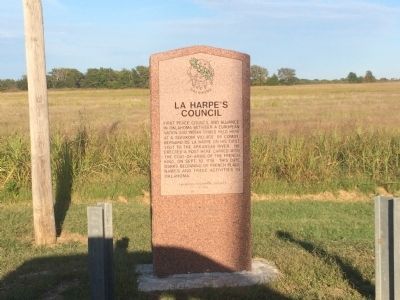
First peace council and alliance in Oklahoma between a European nation and Indian tribes held here at a Tawakoni village by Comdt Bernard De La Harpe on his first visit to the Arkansas River. He erected a post here carved with the coat-of-arms of the French king, on Sept. 10, 1719. This date marks the beginning of French place names and trade activities in Oklahoma.
Erected 1995 by Oklahoma Historical Society. (Marker Number 72.)
Topics and series. This historical marker is listed in these topic lists: Colonial Era • Exploration • Industry & Commerce • Native Americans • Peace. In addition, it is included in the Oklahoma Historical Society series list. A significant historical date for this entry is September 10, 1719.
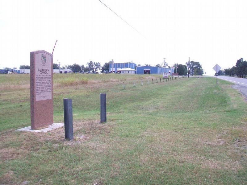
Location. 35° 48.247′ N, 95° 40.353′ W. Marker is in Haskell, Oklahoma, in Muskogee County. Marker is on U.S. 64, 0.7 miles south of Skelly Road (County Route E0830), on the left when traveling south. Touch for map. Marker is in this post office area: Haskell OK 74436, United States of America. Touch for directions.
Other nearby markers. At least 8 other markers are within 11 miles of this marker, measured as the crow flies. Battery C, 160th Field Artillery Battalion, 45th Infantry Division Memorial (approx. 0.9 miles away); First Haskell Casualties (approx. 2.3 miles away); War and Veterans Memorial (approx. 2.3 miles away); Btry B 171st Field Artillery Bn / Btry C 160th Field Artillery Bn (approx. 2.3 miles away); Battery E and Battery C 160th Field Artillery (approx. 2.3 miles away); JB Bates, Sr. (approx. 2˝ miles away); Veterans Memorial (approx. 10.2 miles away); Koweta Mission (approx. 10.4 miles away). Touch for a list and map of all markers in Haskell.
Credits. This page was last revised on October 14, 2017. It was originally submitted on October 11, 2014, by Michael Manning of Woodlawn, Tennessee. This page has been viewed 877 times since then and 84 times this year. Photos: 1. submitted on October 13, 2017, by William Fischer, Jr. of Scranton, Pennsylvania. 2. submitted on October 11, 2014, by Michael Manning of Woodlawn, Tennessee. 3. submitted on October 13, 2017, by William Fischer, Jr. of Scranton, Pennsylvania. • Bernard Fisher was the editor who published this page.


