Fort Smith in Sebastian County, Arkansas — The American South (West South Central)
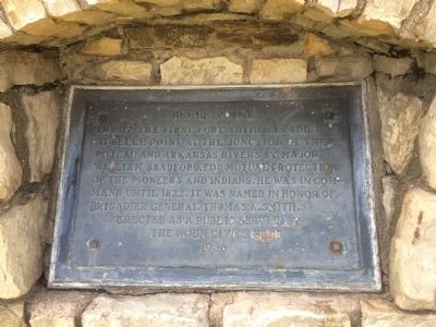
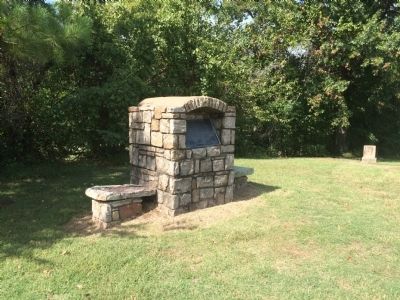
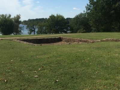
Belle Point
Erected 1939 by Noon Civics Club.
Topics. This historical marker is listed in these topic lists: Forts and Castles • Native Americans • Settlements & Settlers. A significant historical year for this entry is 1817.
Location. 35° 23.293′ N, 94° 25.875′ W. Marker is in Fort Smith, Arkansas, in Sebastian County. Located on the grounds of the Fort Smith National Historic Site, adjacent to the railroad tracks. Touch for map. Marker is in this post office area: Fort Smith AR 72901, United States of America. Touch for directions.
Other nearby markers. At least 8 other markers are within walking distance of this marker. Whiskey War (within shouting distance of this marker); At the Edge of Indian Country (within shouting distance of this marker); The Officer’s Quarters (within shouting distance of this marker); Fort Wall (within shouting distance of this marker); Defending Freedom (within shouting distance of this marker); Confederates Occupy The Fort (about 400 feet away, measured in a direct line); Executions at Fort Smith (about 400 feet away); The Gallows (about 400 feet away). Touch for a list and map of all markers in Fort Smith.
Credits. This page was last revised on June 16, 2016. It was originally submitted on October 11, 2014, by Michael Manning of Woodlawn, Tennessee. This page has been viewed 762 times since then and 66 times this year. Photos: 1, 2, 3. submitted on October 11, 2014, by Michael Manning of Woodlawn, Tennessee. • Al Wolf was the editor who published this page.


