Maysville in Benton County, Arkansas — The American South (West South Central)
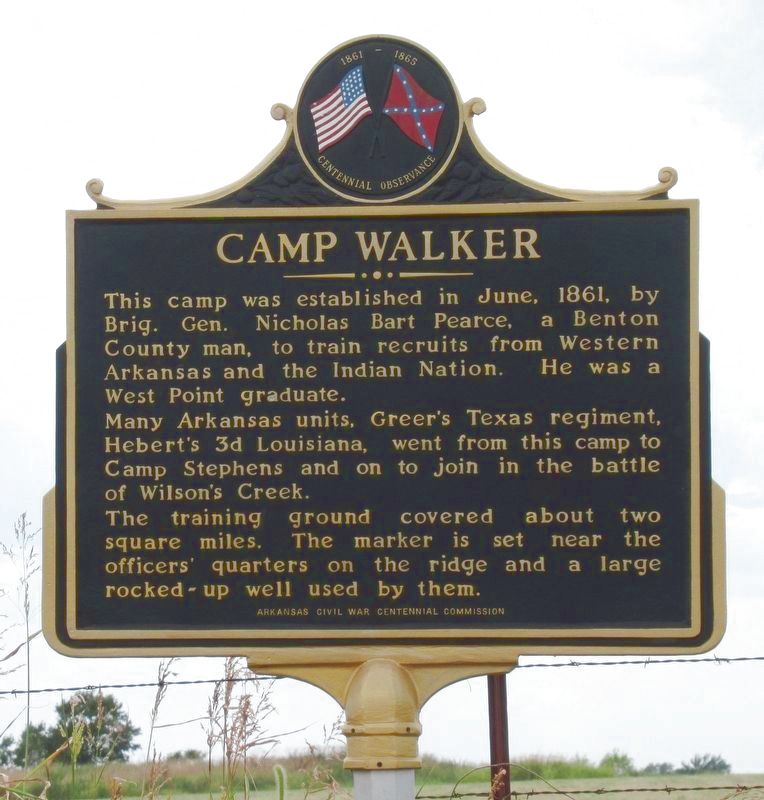
Camp Walker
This camp was established in June, 1861, by Brig. Gen. Nicholas Bart Pierce, a Benton County man, to train recruits from Western Arkansas and the Indian Nation. He was a West Point graduate.
Many Arkansas units, Greer's Texas regiment, Herbert's 3d Louisiana, went from this camp to Camp Stephens and on to join in the battle of Wilson's Creek.
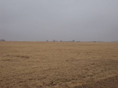
This training ground covered about two square miles. The marker is set near the officers' quarters on the ridge and a large rocked-up well used by them.
Erected by Arkansas Civil War Centennial Commission.
Topics. This historical marker is listed in this topic list: War, US Civil. A significant historical month for this entry is June 1861.
Location. 36° 24.611′ N, 94° 34.125′ W. Marker is in Maysville, Arkansas, in Benton County. Marker is at the intersection of Arkansas Route 72 and Busse Road, on the left when traveling north on State Route 72. Touch for map. Marker is in this post office area: Gravette AR 72736, United States of America. Touch for directions.
Other nearby markers. At least 8 other markers are within 8 miles of this marker, measured as the crow flies. The Battle of Maysville (approx. 1.9 miles away); Fort Wayne (approx. 3.4 miles away in Oklahoma); Camp Jackson / Confederate Dead (approx. 3.7 miles away); Georgia Cemetery (approx. 3.7 miles away); Kansas City Southern Railway Caboose #383 (approx. 6˝ miles away); Arkansas & Oklahoma Railroad (approx. 6.7 miles away); What Mean These Stones? (approx. 7.9 miles away); Sulphur Springs Park Reserve (approx. 7.9 miles away).
Credits. This page was last revised on April 10, 2023. It was originally submitted on October 13, 2014, by Michael Manning of Woodlawn, Tennessee. This page has been viewed 931 times since then and 87 times this year. Photos: 1. submitted on April 10, 2023, by Jason Armstrong of Talihina, Oklahoma. 2. submitted on October 16, 2019, by Mark Hilton of Montgomery, Alabama. 3. submitted on October 13, 2014, by Michael Manning of Woodlawn, Tennessee. • Bernard Fisher was the editor who published this page.
Editor’s want-list for this marker. A photo of the marker and the surrounding area in context. • Can you help?


