Brentsville in Prince William County, Virginia — The American South (Mid-Atlantic)
Brentsville
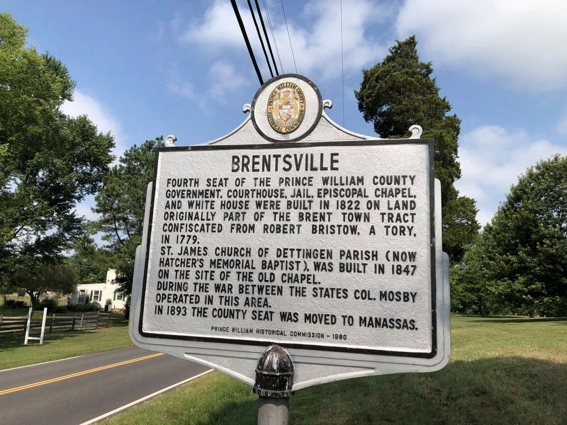
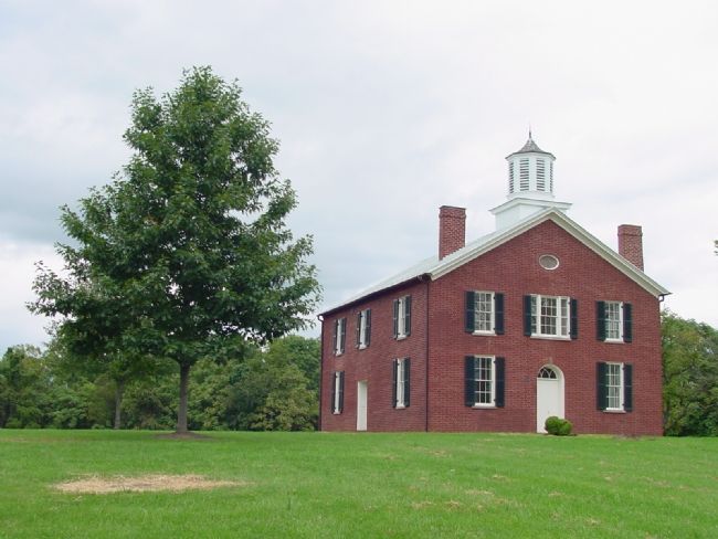
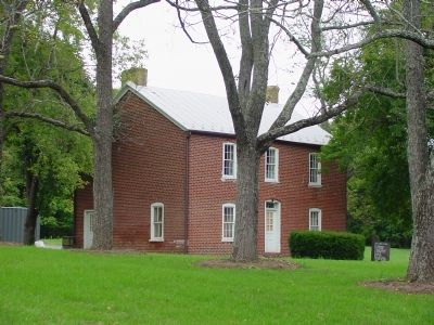
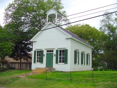
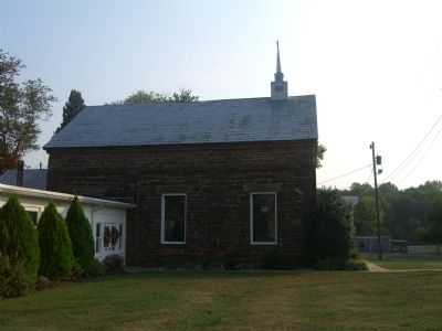
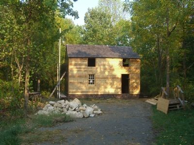
Fourth seat of the Prince William County government. Courthouse, jail, Episcopal Chapel, and White House were built in 1822 on land originally part of the Brent Town tract confiscated from Robert Bristow, a Tory, in 1779.
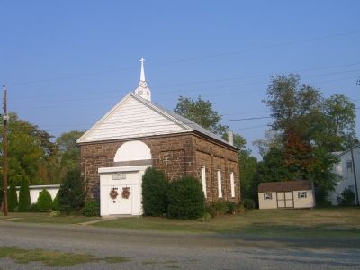
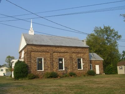
♦ St. James Church of Dettingen Parish (now Hatcher’s Memorial Baptist), was built in 1847 on the site of the old chapel.
♦ During the War Between the States Col. Mosby operated in this area.
♦ In 1893 the county seat was moved to Manassas.
Erected 1980 by the Prince William Historical Commission. (Marker Number 41.)
Topics and series. This historical marker is listed in these topic lists: Churches & Religion • Notable Buildings • Political Subdivisions • War, US Civil • War, US Revolutionary. In addition, it is included in the Virginia, Prince William County Historical Commission series list. A significant historical year for this entry is 1822.
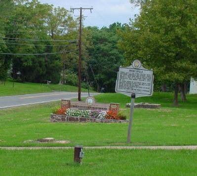
Location. 38° 41.362′ N, 77° 30.011′ W. Marker is in Brentsville, Virginia, in Prince William County. Marker is on Bristow Road (Virginia Route 619) 4.2 miles east of Nokesville Road (Virginia Route 28), on the right when traveling west. It is near the Brentsville Park entrance. Touch for map. Marker is at or near this postal address: 12246 Bristow Rd, Bristow VA 20136, United States of America. Touch for directions.
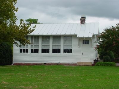
Other nearby markers. At least 14 other markers are within walking distance of this marker. One-Room School (within shouting distance of this marker); The Town (within shouting distance of this marker); Clerk's Office (within shouting distance of this marker); Tavern Square (within shouting distance of this marker); County Jail (within shouting distance of this marker); County Courthouse (within shouting distance of this marker); The Public Lot (within shouting distance of this marker); Brentsville Courthouse (within shouting distance of this marker); Brentsville Jail (within shouting distance of this marker); a different marker also named Brentsville (within shouting distance of this marker); Brentsville Courthouse Historic Centre (within shouting distance of this marker); 1822 Tavern Site (within shouting distance of this marker); Tavern Cellar (within shouting distance of this marker); Outbuildings (within shouting distance of this marker). Touch for a list and map of all markers in Brentsville.
More about this marker. Marker is at the Brenstville Courthouse Historic Centre.
Related markers. Click here for a list of markers that are related to this marker. Brentsvillle was the location for the fourth Prince William County Courthouse. The list includes all five Prince William County Courthouses in sequence from first through
Credits. This page was last revised on July 8, 2020. It was originally submitted on December 21, 2006, by J. J. Prats of Powell, Ohio. This page has been viewed 3,803 times since then and 48 times this year. Photos: 1, 2. submitted on July 5, 2020, by Devry Becker Jones of Washington, District of Columbia. 3, 4, 5, 6, 7. submitted on December 21, 2006, by J. J. Prats of Powell, Ohio. 8, 9, 10, 11. submitted on September 26, 2007, by Kevin W. of Stafford, Virginia.
