Near Oketo in Marshall County, Kansas — The American Midwest (Upper Plains)
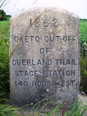
Oketo Cut-Off of Overland Trail
1862
140 rods west
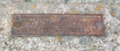
Erected by National Youth Administration.
Topics. This historical marker is listed in these topic lists: Roads & Vehicles • Settlements & Settlers.
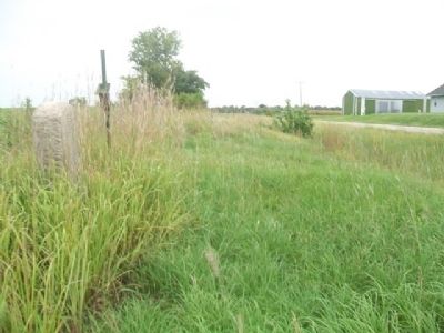
Location. 39° 57.158′ N, 96° 36.063′ W. Marker is near Oketo, Kansas, in Marshall County. Marker is on 12th Road, 0.4 miles south of Cherokee Road (Kansas Highway 233), on the right when traveling south. Touch for map. Marker is at or near this postal address: 441 12th Road, Oketo KS 66518, United States of America. Touch for directions.
Other nearby markers. At least 8 other markers are within 8 miles of this marker, measured as the crow flies. Oketo School District 20 (approx. ¾ mile away); Z. H. Moore General Store (approx. ¾ mile away); The Oto and Missouri Agency (approx. 6½ miles away in Nebraska); Civil War Memorial (approx. 7.1 miles away); S. M. N. & R. American Legion Post 163 Veterans Memorial (approx. 7.7 miles away); Marysville (approx. 7.7 miles away); Marshall County Veterans Memorial (approx. 7.8 miles away); Marysville, Kan. (approx. 8 miles away). Touch for a list and map of all markers in Oketo.
Also see . . . Riding the Overland Stage, 1861. (Submitted on October 16, 2014, by William Fischer, Jr. of Scranton, Pennsylvania.)
Credits. This page was last revised on June 16, 2016. It was originally submitted on October 16, 2014, by William Fischer, Jr. of Scranton, Pennsylvania. This page has been viewed 445 times since then and 11 times this year. Photos: 1, 2, 3. submitted on October 16, 2014, by William Fischer, Jr. of Scranton, Pennsylvania.


