Dartmouth in Halifax Region, Nova Scotia — The Atlantic Provinces (North America)
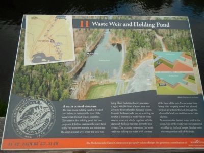
Waste Weir and Holding Pond
Inscription.
A water control structure
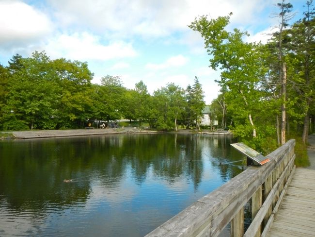
The man-made holding pond in front of you helped to maintain the level of the canal when the lock was in operation. The water in this holding pond had two purposes. It helped maintain the water level in the dry summer months and minimized the drop in water level when the lock was being filled. Each time Lock 3 was used, roughly 400,000 litres of water were sent down to the next level of the canal system. Beneath the boardwalk you are standing on is what is known as a waste weir or water control structure which, together with the dam and the lock chamber, form the lock system. The primary purpose of the waste weir was to keep the water level constant at the head of the lock. Excess water from heavy rains or spring runoff was allowed to drain away from the lock through the channel behind you and then on to Lake Micmac.
To maintain the desired water level in the canal, logs in the waste weir were removed or added to by the lock keeper. Similar weirs were required at each of the locks.
Erected by Shubenacadie Canal Commission. (Marker Number 11.)
Topics. This historical marker is listed in this topic list: Waterways & Vessels.
Location. 44° 42.143′ N, 63° 33.314′ W. Marker is in Dartmouth, Nova Scotia, in Halifax Region. Marker can be reached from Lock Road, on the left when traveling north. Touch for map. Marker is at or near this postal address: 54 Lock Road, Dartmouth NS B2X, Canada. Touch for directions.
Other nearby markers. At least 8 other markers are within walking distance of this marker. Canal Shubenacadie Canal (within shouting distance of this marker); Historic Shubenacadie Canal System (within shouting distance of this marker); The Fairbanks Solution (within shouting distance of this marker); Official Groundbreaking 1829 (within shouting distance of this marker); Before the Canal (about 120 meters away, measured in a direct line); Navvies Dwelling (about 120 meters away); Of Bough and Bark (about 180 meters away); Deep Cut (about 210 meters away). Touch for a list and map of all markers in Dartmouth.
More about this marker. This marker is located in Shubie Park on the bank between the Holding Pond and the Waste Pond.
Credits. This page was last revised on June 16, 2016. It was originally submitted on October 19, 2014, by Barry Swackhamer of Brentwood, California. This page has been viewed 426 times since then and 12 times this year. Photos: 1, 2. submitted on October 19, 2014, by Barry Swackhamer of Brentwood, California. • Andrew Ruppenstein was the editor who published this page.

