Covelo in Mendocino County, California — The American West (Pacific Coastal)
Round Valley
Photographed by Henry M Kohnen, October 16, 2014
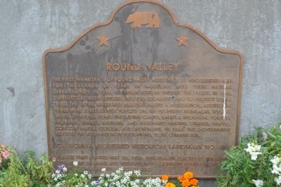
1. Round Valley Marker
Erected 2002 by State Dept. of Parks & Recreation in cooperation with the People of Mendocino County. (Marker Number 674.)
Topics and series. This historical marker is listed in this topic list: Indigenous Peoples and Communities. In addition, it is included in the California Historical Landmarks series list. A significant historical year for this entry is 1854.
Location. 39° 43.765′ N, 123° 15.096′ W. Marker is in Covelo, California, in Mendocino County. It is on State Highway 162 at
this page online

Regionally, this marker is in Wine Country, in the North Coast, and specifically on the Coast Ranges. It is also on the American Pacific Coast and in the Pacific Northwest. Globally, it is in North America, on the Ring of Fire, on the Pacific Rim, in the Western Hemisphere, in the Western World, and in the Anglosphere. Historically, it finds itself in what was once New Spain and also Mexico’s Alta California.
Photographed by Henry M Kohnen, October 16, 2014
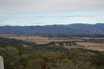
2. Round Valley Marker
Round Valley as seen from the overlook called "Insperation Point" by locals. The Round Valley Indian Reservation is located at the base of the mountains in the distance.
Photographed by Bryn Deamer, January 9, 2025
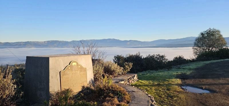
3. Round Valley Marker
Round Valley history marker at inspiration point with Round valley fog bound behind.
Credits. This page was last revised on January 23, 2025. It was originally submitted on October 21, 2014, by Henry M Kohnen of San Jose, California. This page has been viewed 945 times since then and 54 times this year. Photos: 1, 2. submitted on October 21, 2014, by Henry M Kohnen of San Jose, California. 3. submitted on January 15, 2025, by Bryn Deamer of San Rafael, Californi. • Syd Whittle was the editor who published this page.
Editor’s want-list for this marker. Wide view photo of the marker showing its location in context. Better closeup photo of the marker. • Can you help?
