Stony Creek in Sussex County, Virginia — The American South (Mid-Atlantic)
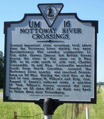
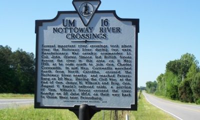
Nottoway River Crossings
Erected 2003 by Department of Historic Resources. (Marker Number UM-16.)
Topics and series. This historical marker is listed in these topic lists: War, US Civil • War, US Revolutionary. In addition, it is included in the Virginia Department of Historic Resources (DHR) series list. A significant historical date for this entry is May 11, 1781.
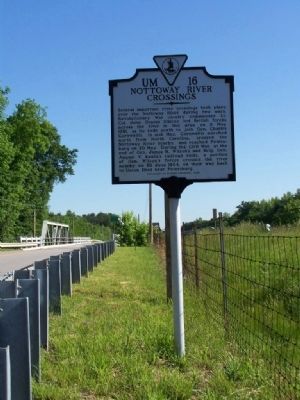
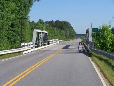
Location. 36° 53.931′ N, 77° 24.032′ W. Marker is in Stony Creek, Virginia, in Sussex County. Marker is on Blue Star Highway (U.S. 301), on the left when traveling south. Located near the bridge over Nottoway River, where US 301 parallels Interstate 95. Touch for map. Marker is in this post office area: Stony Creek VA 23882, United States of America. Touch for directions.
Other nearby markers. At least 8 other markers are within 7 miles of this marker, measured as the crow flies. Jones Chapel Methodist Church (approx. 2 miles away); Hunting Quarter Baptist Church (approx. 2.9 miles away); History At Stony Creek (approx. 3.3 miles away); Sappony Church (approx. 4.4 miles away); Sussex County / Dinwiddie County (approx. 5.9 miles away); Prince George County / Sussex County (approx. 6.7 miles away); Sussex County Courthouse (approx. 6.8 miles away); Sussex County War Memorial (approx. 6.8 miles away). Touch for a list and map of all markers in Stony Creek.
Also see . . . Sappony Church, Stony Creek Depot ,Civil War in Virginia. Wilson and Kautz headed east and, on June 28, crossed the Nottoway River at the Double Bridges and headed north to Stony Creek Depot on the Weldon Railroad. Here, they were attacked by Major General Wade Hampton's cavalry division. (Submitted on May 20, 2008, by Mike Stroud of Bluffton, South Carolina.)
Additional commentary.
1. Additional Comments on Lt. Col. John Graves Simcoe
Excerpt from the Lt. Col John Graves Simcoe Papers:
Lt. Col. John Graves Simcoe (1752-1806) commanded the Queen’s Rangers—an American corps of hussars, or light cavalry, loyal to the British crown—during the Revolutionary War and later served as first lieutenant
governor of Upper Canada. Included are eighteen manuscript maps—many executed in watercolor—of military actions in Virginia. This collection gives great insight into the American Revolution from the British perspective along with documentation on the Williamsburg area.
From the John D. Rockefeller, Jr., Library, a part of the Research Division of the Colonial Williamsburg Foundation - Omohundro Institute of Early American History and Culture:
The Special Collections section of the Library houses rare books, manuscripts, architectural drawings, and microfilm.
— Submitted May 20, 2008, by Mike Stroud of Bluffton, South Carolina.
Credits. This page was last revised on June 16, 2016. It was originally submitted on May 20, 2008, by Mike Stroud of Bluffton, South Carolina. This page has been viewed 2,225 times since then and 53 times this year. Photos: 1. submitted on November 4, 2013, by Mike Stroud of Bluffton, South Carolina. 2, 3, 4. submitted on May 20, 2008, by Mike Stroud of Bluffton, South Carolina. • Craig Swain was the editor who published this page.


