Rock Falls in Whiteside County, Illinois — The American Midwest (Great Lakes)
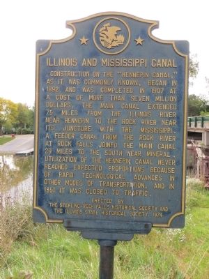
Illinois and Mississippi Canal
Erected 1974 by Sterling-Rock Falls Historical Society and The Illinois State Historical Society.
Topics and series. This historical marker is listed in this topic list: Waterways & Vessels. In addition, it is included in the Illinois State Historical Society series list. A significant historical year for this entry is 1892.
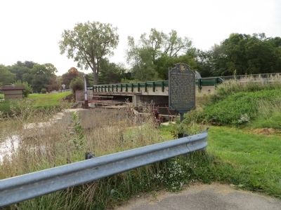
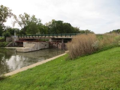
Location. 41° 47.213′ N, 89° 40.605′ W. Marker is in Rock Falls, Illinois, in Whiteside County. Marker is on East 2nd Street, 0.1 miles east of Avenue F, on the left when traveling east. The maker is located by the upper dam across the Rock River, on the west side of the feeder canal, near the power plant parking lot. Touch for map. Marker is in this post office area: Rock Falls IL 61071, United States of America. Touch for directions.
Other nearby markers. At least 8 other markers are within 8 miles of this marker, measured as the crow flies. Col. Edward N. Kirk House (approx. 0.4 miles away); Lincoln in Sterling (approx. 0.6 miles away); Original Site of Sterling Township High School 1898-1950 (approx. ¾ mile away); Hezekiah Brink (approx. ¾ mile away); Yellow Billed Loon (approx. 0.9 miles away); Masonic Temple (approx. 1.1 miles away); The First School House in Palmyra Town (approx. 6.8 miles away); 82 Rods South of This Spot Was Born in a Log Cabin (approx. 8 miles away).
Credits. This page was last revised on June 16, 2016. It was originally submitted on October 24, 2014, by Bill Kirchner of Tucson, Arizona. This page has been viewed 417 times since then and 5 times this year. Photos: 1, 2, 3. submitted on October 24, 2014, by Bill Kirchner of Tucson, Arizona. • Al Wolf was the editor who published this page.


