Near Mt. Lookout in Nicholas County, West Virginia — The American South (Appalachia)
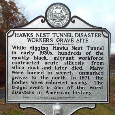
Hawks Nest Tunnel Disaster Workers Grave Site
Inscription.
While digging Hawks Nest Tunnel in early 1930's, hundreds of the mostly black, migrant workforce contracted acute silicosis from silica dust and later died. Many were buried in secret, unmarked graves to the north. In 1971, the bodies were reburied nearby. The tragic event is one of the worst disasters in American history.
Erected 2011 by Nicholas County H. S. Chapter of Future Business Leaders of America, West Virginia Archives and History.
Topics and series. This historical marker is listed in these topic lists: African Americans • Cemeteries & Burial Sites • Disasters. In addition, it is included in the West Virginia Archives and History series list. A significant historical year for this entry is 1971.
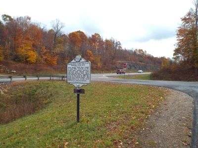
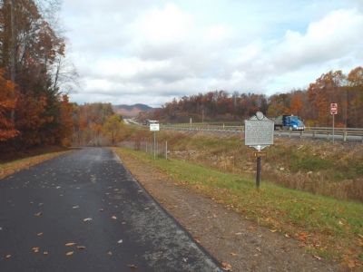
Location. 38° 13.938′ N, 80° 51.053′ W. Marker is near Mt. Lookout, West Virginia, in Nicholas County. Marker is on Mountaineer Expressway (U.S. 19) near Whippoorwill Road, on the right when traveling south. Marker erected between U.S. Route 19 and Hilltop Drive on the southbound side of Route 19. Touch for map. Marker is at or near this postal address: 44 Hilltop Drive, Mount Lookout WV 26678, United States of America. Touch for directions.
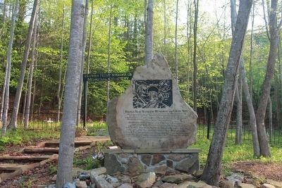
Other nearby markers. At least 8 other markers are within 4 miles of this marker, measured as the crow flies. Hawks Nest Workers Memorial and Grave Site (approx. 0.2 miles away); Hughes Ferry / Bridge (approx. 0.2 miles away); Summersville Reservoir (approx. 2.1 miles away); Running the River (approx. 2.1 miles away); Flood Control (approx. 2.1 miles away); Raid on Summersville (approx. 3.2 miles away); Honorable War Dead Of Nicholas County (approx. 3.4 miles away); In Memory of (approx. 3.4 miles away).
Credits. This page was last revised on June 16, 2016. It was originally submitted on October 30, 2014, by Forest McDermott of Masontown, Pennsylvania. This page has been viewed 994 times since then and 51 times this year. Photos: 1, 2, 3. submitted on October 30, 2014, by Forest McDermott of Masontown, Pennsylvania. 4. submitted on October 30, 2015, by Judy King of Pittsburgh, Pennsylvania. • Bill Pfingsten was the editor who published this page.


