Near Abilene in Jones County, Texas — The American South (West South Central)
Round Mound Cemetery
Photographed by Duane Hall, October 27, 2014
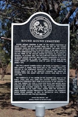
1. Round Mound Cemetery Marker
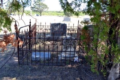
The two earliest marked burials are those of Fannie C. Harry and Charity E. Hinds, who both died in 1882. These graves are located in the northeast quarter of the cemetery. The sole fenced family plot in the cemetery contains the graves of cousins Nona Bell Manly and Ruby Harvey, who died in 1895 and 1900.
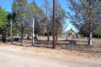
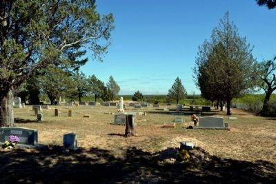
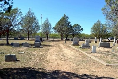
The tabernacle at the center of the cemetery was built in the early 1900s and was used for shelter during funerals. Arborvitae evergreen trees were also planted at the cemetery at this time. During the 1950s a chain link fence and arched metal entrance gate were constructed and additional undeveloped acreage was acquired across FM 1082. Arizona cypress trees were planted in the early 1960s. Along with the traditional grave markers located throughout the cemetery are numerous native stone markers, as well as decorative urns, veterans plaques and folk decorations.
Erected 2009 by Texas Historical Commission. (Marker Number 15905.)
Topics. This historical marker is listed in this topic list: Cemeteries & Burial Sites. A significant historical month for this entry is March 1896.
Location. 32° 34.209′ N, 99° 39.377′ W. Marker is near Abilene, Texas, in Jones
this page online

Regionally, this marker is in Big Country. Globally, it is in North America, a Gulf of Mexico state, the Western Hemisphere, the Western World, and the Anglosphere. Historically, it finds itself in what was once New Spain, the Comanchería, the Republic of Texas, and one of the Confederate States of America.
Other nearby markers. At least 8 other markers are within 8 miles of this marker, measured as the crow flies: Lake Fort Phantom Hill Parks - Johnson Park (approx. 3.2 miles away); Fort Phantom Hill (approx. 5.2 miles away); a different marker also named Fort Phantom Hill (approx. 5.2 miles away); Butterfield Trail (approx. 6.8 miles away); Site of Old Headquarters of the Hashknife Ranch (approx. 7.6 miles away); Abilene Christian University

Photographed by Duane Hall, October 27, 2014
2. Cemetery Tabernacle Structure
Photographed by Duane Hall, October 27, 2014
3. Round Mound Cemetery Entrance
Photographed by Duane Hall, October 27, 2014
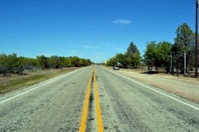
4. View to North Along Farm to Market Road 1082
The 1950s undeveloped cemetery acreage is to the left (west) of the road
Photographed by Duane Hall, October 27, 2014
5. Round Mound Cemetery
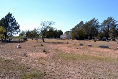
Photographed by Duane Hall, October 27, 2014
6. Round Mound Cemetery
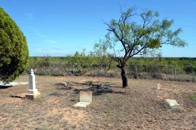
Photographed by Duane Hall, October 27, 2014
7. Burial Site of Fannie C. Harry
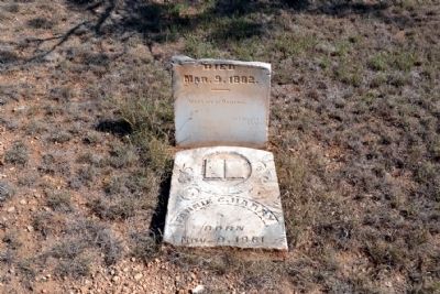
Photographed by Duane Hall, October 27, 2014
8. Headstone of Fannie C. Harry
Photographed by Duane Hall, October 27, 2014
9. Burial Plot of Cousins Nona Bell Manly and Ruby Harvey
Photographed by Duane Hall, October 27, 2014
10. Round Mound Cemetery
Credits. This page was last revised on June 16, 2016. It was originally submitted on October 31, 2014, by Duane Hall of Abilene, Texas. This page has been viewed 1,462 times since then and 120 times this year. Photos: 1, 2, 3, 4, 5, 6, 7, 8, 9, 10. submitted on October 31, 2014, by Duane Hall of Abilene, Texas.
