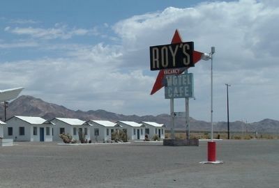
Amboy in San Bernardino County, California — The American West (Pacific Coastal)
Amboy and Roy's Café
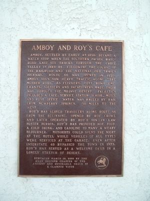
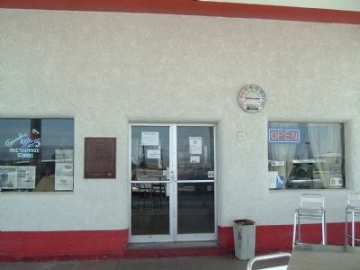
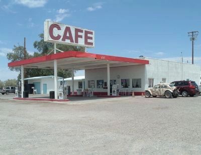
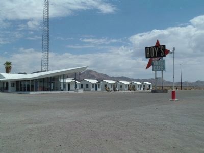
Roy's had served travelers along Route 66 from the beginning. Opened by Roy Crowl and later operated by Roy's son-in-law Buster Burris, Roy's has provided hot food, a cold drink, and gasoline to many a weary sojourner. Motorist could spend the night at the motel while vehicles of all types were serviced at the garage. Even after interstate 40 bypassed the town in 1973, Roy's has served as a welcome oasis in the lonely stretch of desert.
Erected 2006 by Billy Holcomb Chapter - E Clampus Vitus. (Marker Number 126.)
Topics and series. This historical marker is listed in these topic lists: Notable Places • Roads & Vehicles. In addition, it is included in the E Clampus Vitus, and the U.S. Route 66 series lists. A significant historical year for this entry is 1858.
Location. 34° 33.513′ N, 115° 44.646′ W. Marker is in Amboy, California, in San Bernardino County. Marker is on National Trails Highway - Historic Route 66 near Old Amboy Road, on the right when traveling west. Touch for map. Marker is in this post office area: Amboy CA 92304, United States of America. Touch for directions.
Other nearby markers. At least 6 other markers are within 12 miles of this marker, measured as the crow flies. Trails and Rails Through the Mojave Desert (within shouting distance of this marker); Route 66, Amboy, California (about 400 feet away, measured in a direct line); Amboy Crater (approx. 2.1 miles away); Hallowed Ground (approx. 7.8 miles away); Route 66 Roadside Service Areas: Road Runner’s Retreat (approx. 9.7 miles away); Old Route 66 (approx. 11.4 miles away).
Regarding Amboy and Roy's Café. Currently the town of Amboy is owned by Albert Okura. He is dedicated to preserving Amboy in a 1950's look and feel and is restoring the site to it's former glory. Links are also offered taking the reader to history, photos and additional information of the area.
(Submitted on July 19, 2010 by Bill Kirchner of Tucson, Arizona.)
Also see . . .
1. Visit Amboy - The History. (Submitted on September 8, 2020, by Larry Gertner of New York, New York.)
2. The Historic Route 66 - The Mother Road. A turn-by-turn road description guiding the visitor from Chicago to Los Angeles along with links to photos, history and additional information. (Submitted on July 19, 2010.)
Additional keywords. Route 66
Credits. This page was last revised on February 29, 2024. It was originally submitted on July 18, 2010, by Bill Kirchner of Tucson, Arizona. This page has been viewed 1,730 times since then and 53 times this year. Last updated on November 3, 2014, by Michael Kindig of Elk Grove, California. Photos: 1, 2, 3, 4, 5. submitted on July 18, 2010, by Bill Kirchner of Tucson, Arizona. • Bill Pfingsten was the editor who published this page.
