Cibola in La Paz County, Arizona — The American Mountains (Southwest)
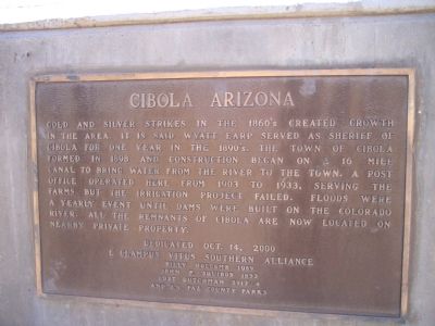
Cibola Arizona
Photographed by Bill Kirchner, June 6, 2010
1. Cibola Arizona Marker
Erected 2000 by E Clampus Vitus Southern Alliance, Billy Holcomb 1069, John P Squibob 1853, Lost Dutchman 5917 – 4 and La Paz County Parks. (Marker Number 104.)
Topics and series. This historical marker is listed in these topic lists: Agriculture • Industry & Commerce • Natural Resources • Settlements & Settlers. In addition, it is included in the E Clampus Vitus series list. A significant historical year for this entry is 1898.
Location. Marker has been reported missing. It was located near 33° 22.533′ N, 114° 39.509′ W. Marker was in Cibola, Arizona, in La Paz County. It could be reached from the intersection
this page online

Regionally, this marker was in the Colorado River Valley, in the Sonoran Desert, and in the Yuma Area. It was also in the American Southwest. Globally, it was in North America, the Western Hemisphere, the Western World, and the Anglosphere. Historically, it found itself in what was once New Spain and also Mexico’s Alta California.
Other nearby markers. At least 3 other markers are within 6 miles of this location, measured as the crow flies: Colorado River Ferries (here, next to this marker); a different marker also named Taylor's Ferry (approx. 5.8 miles away in California); Camp Gaston (approx. 5.9 miles away in California).
Another marker is no longer nearby. Taylor's Ferry (was approx. 4.4 miles away in California but has been confirmed missing).
Regarding Cibola Arizona. William B. Rood of Death Valley '49er fame had a herd of 4,000 cattle to furnish beef
Photographed by Bill Kirchner, June 6, 2010
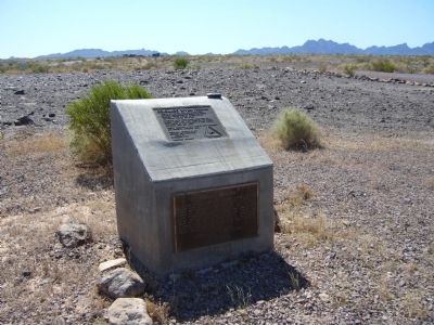
2. Cibola Arizona Marker
SOURCE: Billy Holcomb Chapter 1069 35th Anniversary Plaque Book by Phillip Holdaway
Photographed by Bill Kirchner, June 6, 2010
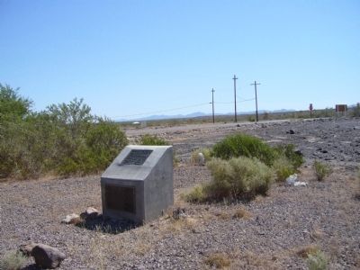
3. Cibola Arizona Marker
Credits. This page was last revised on February 4, 2026. It was originally submitted on June 13, 2010, by Bill Kirchner of Tucson, Arizona. This page has been viewed 2,696 times since then and 103 times this year. Last updated on November 3, 2014, by Michael Kindig of Elk Grove, California. Photos: 1, 2, 3. submitted on June 13, 2010, by Bill Kirchner of Tucson, Arizona. • Bill Pfingsten was the editor who published this page.
