Near Amboy in San Bernardino County, California — The American West (Pacific Coastal)
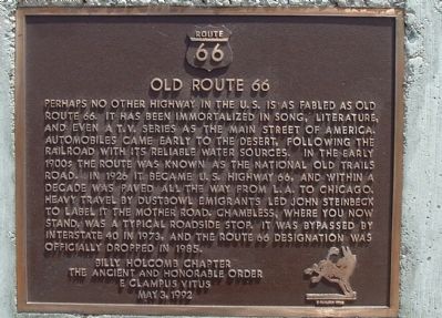
Old Route 66
Photographed by Bill Kirchner, July 9, 2010
1. Old Route 66 Marker
Erected 1992 by Billy Holcomb Chapter of The Ancient and Honorable Order E Clampus Vitus. (Marker Number 69.)
Topics and series. This historical marker is listed in these topic lists: Notable Places • Roads & Vehicles. In addition, it is included in the E Clampus Vitus, and the U.S. Route 66 series lists. A significant historical year for this entry is 1926.
Location. 34° 33.731′ N, 115° 32.666′ W. Marker is near Amboy, California, in San Bernardino
this page online

Regionally, this marker is in Greater Los Angeles, in the Mojave Desert, in the Peninsular Ranges, and specifically in the Transverse Ranges. It is also in the American Southwest. Globally, it is in North America, on the Ring of Fire, on the Pacific Rim, in the Western Hemisphere, in the Western World, and in the Anglosphere. Historically, it finds itself in what was once New Spain and also Mexico’s Alta California.
Other nearby markers. At least 7 other markers are within 12 miles of this marker, measured as the crow flies: Road Runner’s Retreat (approx. 1.7 miles away); The Story of Route 66 (approx. 5.6 miles away); Saint Raymond's Church (approx. 11.3 miles away); Route 66, Amboy, California (approx. 11.3 miles away); Trails and Rails Through the Mojave Desert
Photographed by Bill Kirchner, July 9, 2010
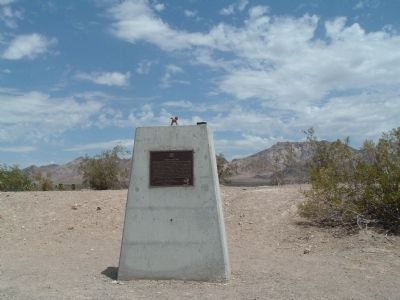
2. Old Route 66 Marker
More about this marker. Chambless was just another small stop on the "Main Street" of the USA and has not fared as well as some locations. There was an important discovery made in the 1980's. South of here is a large natural underground water storage basin, used at this time to water the large acreage of crops nearby. San Bernardino County officials are studying the basin for water storage.
SOURCE: Billy Holcomb Chapter 1069 35th Anniversary Plaque Book by Phillip Holdaway
Also see . . . A YouTube Posting. The opening scene of the T.V. episode of Route 66 starring Martin Milner and George Maharas. (Submitted on July 19, 2010.)
Additional keywords. Route 66
Photographed by Bill Kirchner, July 9, 2010
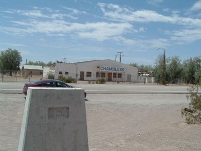
3. Rear of Old Route 66 Marker
View south across Old Route 66.
Photographed by Michael Kindig, May 3, 1992
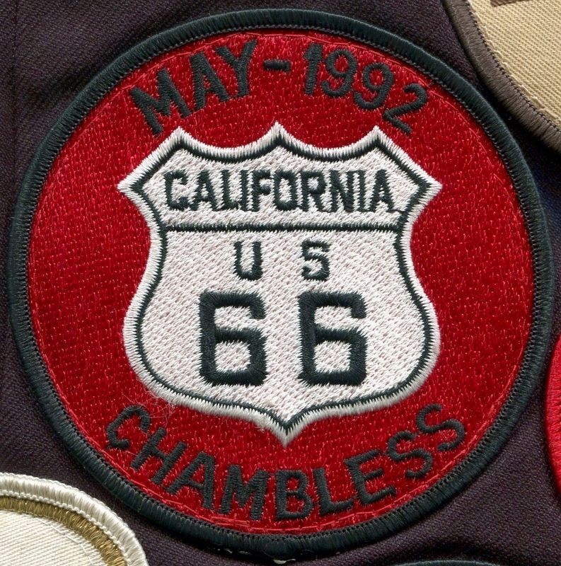
4. Event Patch
Credits. This page was last revised on December 22, 2024. It was originally submitted on July 18, 2010, by Bill Kirchner of Tucson, Arizona. This page has been viewed 1,979 times since then and 99 times this year. Last updated on November 3, 2014, by Michael Kindig of Elk Grove, California. Photos: 1, 2, 3. submitted on July 18, 2010, by Bill Kirchner of Tucson, Arizona. 4. submitted on August 8, 2016, by Michael Kindig of Elk Grove, California. • Bill Pfingsten was the editor who published this page.
