Near Niagara-on-the-Lake in Niagara Region, Ontario — Central Canada (North America)
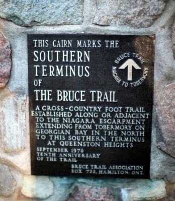
Southern Terminus of The Bruce Trail
Bruce Trail, Niagara to Tobermory.
Erected 1970 by Bruce Trail Association, Box 722, Hamilton, Ont., in September on the Tenth Anniversary of the Trail.
Topics. This historical marker is listed in these topic lists: Environment • Natural Features.
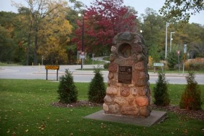
Location. 43° 9.48′ N, 79° 3.076′ W. Marker is near Niagara-on-the-Lake, Ontario, in Niagara Region. Marker is at the intersection of Portage Road (Local Route 61) and the Niagara Parkway Roundabout, on the right when traveling west on Portage Road. It is between road and the parking lot for Queenston Height National Historic Site (Brock’s Monument). Touch for map. Marker is in this post office area: Niagara-on-the-Lake ON L0S 1J0, Canada. Touch for directions.
Other nearby markers. At least 8 other markers are within walking distance of this marker. Attack (about 240 meters away, measured in a direct line); Laura Ingersoll Secord (approx. 0.3 kilometers away); The Battle of Queenston Heights (approx. 0.3 kilometers away); Brock's Monument (approx. 0.3 kilometers away); The Decisive Battle (approx. 0.3 kilometers away); The "Colored Corps" 1812 - 1815 (approx. 0.3 kilometers away); Sir Isaac Brock (approx. 0.3 kilometers away); Roy Terrace (approx. 0.3 kilometers away).
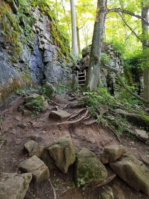
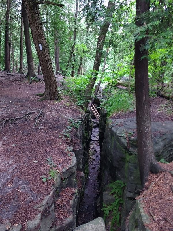
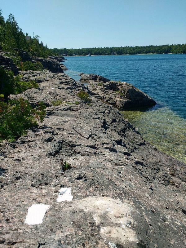
Regarding Southern Terminus of The Bruce Trail. The trail is an approximately 900 kilometer-long marked footpath between this location and the northernmost point on the peninsula between Lake Huron proper and the lake’s Georgian Bay.
Also see . . .
1. Bruce Trail Conservancy Website. “The Bruce Trail, Canada’s oldest and longest marked footpath, provides the only continuous public access to the magnificent Niagara Escarpment, a UNESCO World Biosphere Reserve. Running along the Escarpment from Niagara to Tobermory, it spans more than 890 km of main Trail and over 400 km of associated side trails.” (Submitted on November 21, 2014.)
2. Wikipedia entry for Bruce Trail. “There are many waterfalls along the Bruce trail, where streams or rivers flow over the Niagara Escarpment. Niagara Falls, by far the most famous watercourse in the area, can be reached by a side trail of the Bruce
Trail proper. There is also a wide range of plant and wildlife along the trail, including slow-growing centuries-old coniferous trees right on the limestone lip of the escarpment itself. ” (Submitted on November 21, 2014.)
Credits. This page was last revised on December 31, 2021. It was originally submitted on November 21, 2014, by J. J. Prats of Powell, Ohio. This page has been viewed 810 times since then and 152 times this year. Photos: 1, 2. submitted on November 21, 2014, by J. J. Prats of Powell, Ohio. 3, 4, 5. submitted on December 30, 2021, by Jason L Miller of Hamilton, Ontario.
Editor’s want-list for this marker. Photos along the trail • Can you help?
