Cape Henlopen State Park near Lewes in Sussex County, Delaware — The American Northeast (Mid-Atlantic)
The U.S. Navy at Cape Henlopen
A Century of Service
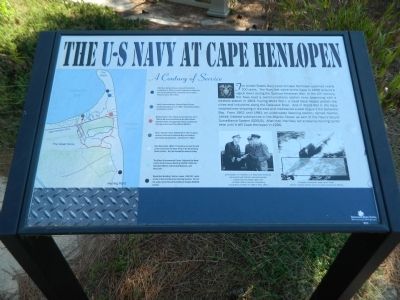
Photographed by Nate Davidson, October 18, 2014
1. The U.S. Navy at Cape Henlopen Marker
Erected by Delaware State Parks.
Topics and series. This historical marker is listed in these topic lists: Forts and Castles • War, Cold • War, Spanish-American • War, World II. In addition, it is included in the Delaware State Parks series list. A significant historical year for this entry is 1898.
Location. Marker has been permanently removed. It was located near 38° 46.25′ N,
this page online
We have been informed that this marker is no longer there and will not be replaced. This page is an archival view of what was.
Regionally, this marker was on Delaware’s Beaches. It was also in the American Mid-Atlantic, on the Delmarva Peninsula, and on the Eastern Seaboard. Globally, it was in the North Atlantic Region, North America, the Western Hemisphere, the Western World, and the Anglosphere. Historically, it found itself in what was once New Netherland, one of the original Thirteen Colonies, and the Antebellum South.

Other nearby markers. At least 8 other markers are within walking distance of this location: Reclaiming the Cape (within shouting distance of this marker); Howard Schroeder (approx. 0.4 miles away); Herring Point (approx. 0.4 miles away); The Great Dune (approx. 0.4 miles away); The Cape Henlopen Lighthouse
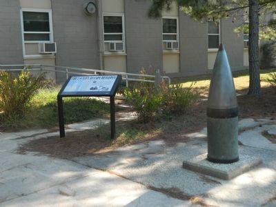
Photographed by Nate Davidson, October 18, 2014
2. Marker next to 16-inch artillery shell in front of Biden Center
Credits. This page was last revised on May 13, 2025. It was originally submitted on November 27, 2014, by Nathan Davidson of Salisbury, Maryland. This page has been viewed 1,626 times since then and 83 times this year. Photos: 1, 2. submitted on November 27, 2014, by Nathan Davidson of Salisbury, Maryland. • Bill Pfingsten was the editor who published this page.
