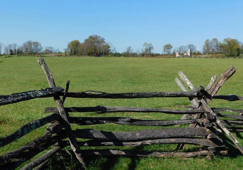
Near Millville in Jefferson County, West Virginia — The American South (Appalachia)
Setting the Trap / Jackson Arrives
Harpers Ferry National Historical Park
— National Park Service, U.S. Department of the Interior —
Confederate Major General "Stonewall" Jackson faced three enemies - the Union garrison at Harpers Ferry, its formidable position on Bolivar Heights, and time. On the second day of the battle, although pummeled by a Confederate bombardment, the Federals still stood firm. Jackson knew he had to force the issue. He devised a three-point plan. First, to "turn" the Union flank, he ordered Major General A.P. Hill to march 3,500 men and 20 cannon, under the cover of night, to a position behind the Federal lines. Meanwhile, one mile to the north, Jackson staged a fake attack against Bolivar Heights to distract the Federals from Hill's maneuver. Finally, Jackson ordered that 10 cannon be moved from Schoolhouse Ridge across the Shenandoah River to a plateau on Loudoun Heights. By Monday morning, September 15, all was accomplished. The trap was set.
(Lower Panel): Jackson Arrives
Confederate Major General "Stonewall" Jackson arrived here on Schoolhouse Ridge with 14,000 men to commence the Battle of Harpers Ferry. Jackson faced mountain obstacles and a determined Union army defending Bolivar Heights. But in a three-day battle, he forced the largest surrender of U.S. Troops during the Civil War.
(Sidebar): Major General Thomas J. "Stonewall" Jackson was the most successful Confederate general by the late summer of 1862. At the war's outbreak in April 1861, he began his Confederate career as a colonel in command at Harpers Ferry. Returning 17 months later, Jackson used his knowledge of the area's rugged terrain to outmaneuver the Union troops.
Erected by National Park Service, U.S. Department of the Interior.
Topics. This historical marker is listed in this topic list: War, US Civil. A significant historical year for this entry is 1862.
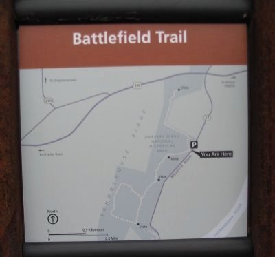
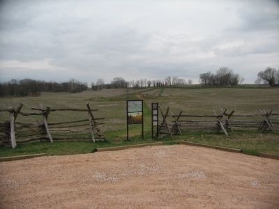
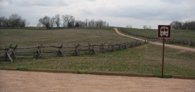
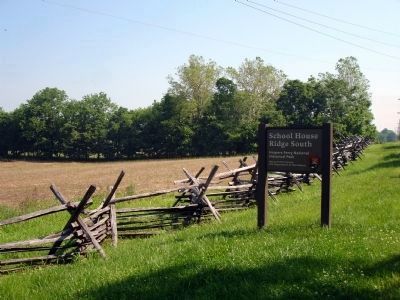
Location. 39° 18.461′ N, 77° 46.652′ W. Marker is near Millville, West Virginia, in Jefferson County. Marker is on Bloomery Road (County Road 27), on the right when traveling south. Located in the south section of the School House Ridge unit of the Harpers Ferry National Historic Park. The marker is along a walking trail just south of the William L. Wilson Freeway (US 340). The trail is best reached from the parking area on Bloomary Road (CR 27). This marker stands at the parking lot, serving as a trail head for walks along School House Ridge. Touch for map. Marker is in this post office area: Millville WV 25432, United States of America. Touch for directions.
Other nearby markers. At least 8 other markers are within walking distance of this marker. Battle of Harpers Ferry / Jackson Arrives (approx. 0.2 miles away); Setting the Trap (approx. ¼ mile away); Battle of Harpers Ferry (approx. 0.6 miles away); Flag Talk (approx. 0.6 miles away); Allstadt House (approx. 0.6 miles away); Sheridan Dug In (approx. 0.7 miles away); Gun Position #6 (approx. ¾ mile away); Infantry Positions (approx. ¾ mile away). Touch for a list and map of all markers in Millville.
More about this marker. The upper panel displays a three dimensional battle map detailing the troop positions on the night of September 14-15, 1862. The location of the marker is indicated by a "you are here" flag. The lower panel features an illustration of Jackson surveying the battlefield, while his troops march past.
Regarding Setting the Trap / Jackson Arrives. Both panels of this marker are duplicated elsewhere in Harpers Ferry Historical Park.
Also see . . . 1862 Battle of Harpers Ferry. National Park Service summary of the battle. (Submitted on May 26, 2008, by Craig Swain of Leesburg, Virginia.)
Credits. This page was last revised on March 14, 2021. It was originally submitted on May 26, 2008, by Craig Swain of Leesburg, Virginia. This page has been viewed 1,249 times since then and 18 times this year. Photos: 1, 2, 3, 4. submitted on May 26, 2008, by Craig Swain of Leesburg, Virginia. 5. submitted on October 15, 2009. 6. submitted on March 13, 2021, by Bradley Owen of Morgantown, West Virginia.

