Preston in Caroline County, Maryland — The American Northeast (Mid-Atlantic)
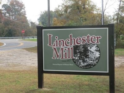
Linchester Mill
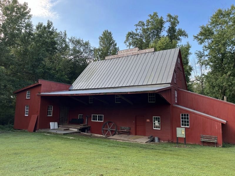
Linchester Mill borders Hunting Creek, a tributary of the Choptank River flowing into the Chesapeake Bay. This historic site provided a crossing for Native Americans who traveled the Choptank Indian Trail; colonists en route to the first Choptank River ferry located at Hog Island; the first “salt raid” of the American Revolution; the first trans-Peninsula railroad to Ocean City; and for customers buying moonshine at Tom’s Still.
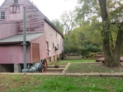
A mill has been here for 250 years. The braced-frame mill was built in 1827. It had two structural additions. The first occurred in 1890 to accommodate new equipment. The second occurred in 1917 when the “Fitz” waterwheel replaced the large wooden waterwheel.
Topics. This historical marker is listed in these topic lists: Agriculture • Industry & Commerce • War, US Revolutionary. A significant historical year for this entry is 1827.
Location. 38° 42.048′ N, 75° 53.85′ W. Marker is in Preston, Maryland, in Caroline County. Marker is at the intersection of Linchester Road and Maryland Route 331 on Linchester Road. Touch for map. Marker is in this post office area: Preston MD 21655, United States of America. Touch for directions.
Other nearby markers. At least 8 other markers are within 2 miles of this marker, measured as the crow flies. The Underground Railroad (within shouting distance of this marker); a different marker also named Linchester Mill (within shouting distance of this marker); Linchester (about 300 feet away, measured in a direct line); Leverton House (approx. half a mile away); Freedom (approx. half a mile away); Preston (approx. one mile away); Site of Frazier’s Chapel (approx. 1.1 miles away); Mt. Pleasant Cemetery (approx. 2.1 miles away). Touch for a list and map of all markers in Preston.
Credits. This page was last revised on September 5, 2022. It was originally submitted on December 1, 2014, by Don Morfe of Baltimore, Maryland. This page has been viewed 566 times since then and 23 times this year. Photos: 1. submitted on December 1, 2014, by Don Morfe of Baltimore, Maryland. 2. submitted on September 5, 2022, by Devry Becker Jones of Washington, District of Columbia. 3, 4, 5. submitted on December 1, 2014, by Don Morfe of Baltimore, Maryland. • Bill Pfingsten was the editor who published this page.


