Near Putnam in Callahan County, Texas — The American South (West South Central)
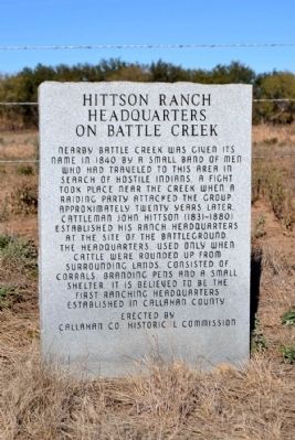
Hittson Ranch Headquarters on Battle Creek
Photographed by Duane Hall, November 26, 2014
1. Hittson Ranch Headquarters on Battle Creek Marker
Erected 1984 by Callahan County Historical Commission. (Marker Number 2499.)
Topics. This historical marker is listed in this topic list: Wars, US Indian. A significant historical year for this entry is 1840.
Location. 32° 22.958′ N, 99° 8.213′ W. Marker is near Putnam, Texas, in Callahan County. It is on Farm to Market Road 2945 0.3 miles east of County Road 425, on the left when traveling east. Touch for map. Marker is in this post office area: Putnam TX 76469, United States of America. Touch for directions.

Regionally, this marker is in Big Country. Globally, it is in North America, a Gulf of Mexico state, the Western Hemisphere, the Western World, and the Anglosphere. Historically, it finds itself in what was once New Spain, the Comanchería, the Republic of Texas, and one of the Confederate States of America.
Other nearby markers. At least 8 other markers are within 9 miles of this marker, measured as the crow flies: Dothan Cemetery (approx. 1.9 miles away); Scranton Cemetery (approx. 5½ miles away); Site of Scranton Academy (approx. 5.6 miles away); Oakwood Cemetery (approx. 8.6 miles away); Military Telegraph Line (approx. 8.7 miles away); Atwell Cemetery (approx. 8.7 miles away); First Presbyterian Church of Cisco (approx. 8.9 miles
this page online
Another marker is no longer nearby. Burkett Pecan Tree (was approx. 1½ miles away but has been confirmed missing).
More about this marker. Although the marker is a county marker, the Texas Historical Commission has assigned Marker Number 2499 to the marker.
Also see . . . John Hittson. From the Texas State Historical Association’s “Handbook of Texas Online”. (Submitted on December 1, 2014.)
Photographed by Duane Hall, November 26, 2014
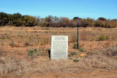
2. Hittson Ranch Headquarters on Battle Creek Marker
Photographed by Duane Hall, November 26, 2014
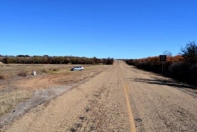
3. View to East Along Farm to Market Road 2945
Photographed by Duane Hall, November 26, 2014
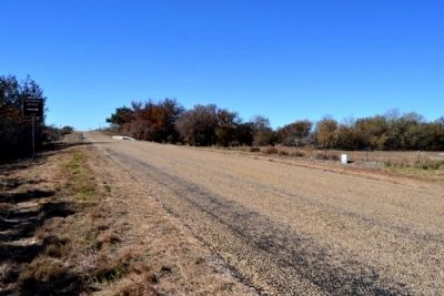
4. View to West Along Farm to Market Road 2945
Credits. This page was last revised on June 16, 2016. It was originally submitted on December 1, 2014, by Duane Hall of Abilene, Texas. This page has been viewed 1,296 times since then and 46 times this year. Photos: 1, 2, 3, 4. submitted on December 1, 2014, by Duane Hall of Abilene, Texas.
