Corning in Steuben County, New York — The American Northeast (Mid-Atlantic)
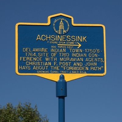
Achsinessink
(“Stone Upon Stone”)
— 900 Yards East → —
Erected 1990 by Chemung Canal Trust – J. Baer, B.S.A. – the City of Corning.
Topics. This historical marker is listed in these topic lists: Colonial Era • Native Americans. A significant historical year for this entry is 1764.
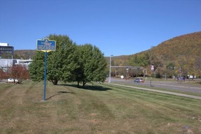
Location. 42° 8.876′ N, 77° 3.2′ W. Marker is in Corning, New York, in Steuben County. Marker is at the intersection of Center Way (New York State Route 414) and Corning Boulevard, on the right when traveling south on Center Way. It is beside the walkway between the old Centerway Bridge and the Corning Museum of Glass in front of the YMCA. Touch for map. Marker is at or near this postal address: 127 Center Way, Corning NY 14830, United States of America. Touch for directions.
Other nearby markers. At least 8 other markers are within walking distance of this marker. Centerway Bridge (approx. 0.2 miles away); At This Location an Alliance of Prosperity was Formed (approx. ¼ mile away); “Little Joe” Thermometer Draw Tower (approx. 0.3 miles away); Market Street Historic District (approx. 0.3 miles away); Concert Hall Block (approx. 0.3 miles away); Galvin and Haines Insurance (approx. 0.3 miles away); Brown's Cigar Store (approx. 0.3 miles away); The Southern Tier Roller Mills (approx. 0.3 miles away). Touch for a list and map of all markers in Corning.
More about this marker. Marker points east.
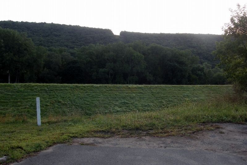
Regarding Achsinessink. The path west from the village was known as “the forbidden trail” because Europeans were prohibited from using it. Achsinessink village was destroyed by British and Iroquois forces in 1764. The natural stone formations resembling stacked stones were destroyed first by railroad construction in the late 19th century and finished off by highway building in the late 20th century.
Also see . . . The Forbidden Trail. 1991 Article by Alfred G. Hilbert in The Crooked Lake Review. “However, to the Indian in a hurry westward, there was a short cut, a much faster route between Tioga Point and Olean. It was a secret trail and was known as the Forbidden Trail, and then later as the Andaste Trail. Its exact route has been the subject of much controversy among historians, and the material for several books.” (Submitted on December 4, 2014.)
Credits. This page was last revised on December 23, 2021. It was originally submitted on December 4, 2014, by J. J. Prats of Powell, Ohio. This page has been viewed 647 times since then and 51 times this year. Photos: 1, 2. submitted on December 4, 2014, by J. J. Prats of Powell, Ohio. 3. submitted on December 20, 2019, by Larry Gertner of New York, New York.
Editor’s want-list for this marker. Photos of the Achsinessink Monument • Can you help?


