Asbury Estates near Springfield in Clark County, Ohio — The American Midwest (Great Lakes)
Asbury Methodist Church
— Memories in rural Clark County, Ohio —
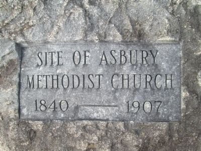
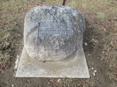
Inscription.
Site of Asbury
Methodist Church
1840- 1907
Topics. This historical marker is listed in these topic lists: Cemeteries & Burial Sites • Churches & Religion. A significant historical year for this entry is 1907.
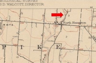
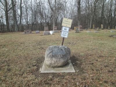
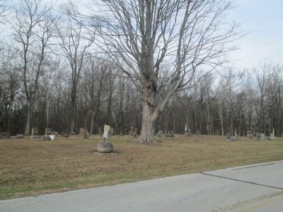
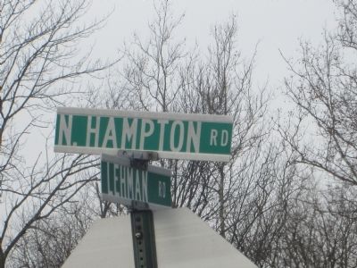
Location. 39° 57.72′ N, 83° 39.012′ W. Marker is near Springfield, Ohio, in Clark County. It is in Asbury Estates. Marker is on North Hampton Road, 0.3 miles north of Troy Road (Ohio Route 41), on the left when traveling north. marker is located in a small rural cemetery on North Hampton Road, about 500 feet north of the Village of North Hampton, Ohio. It is on the bank of Donnel’s Creek. North Hampton Road is an extension of North Main Street from the village. Marker is near the center of Section 3, Town 3, Range 10 Between the Miamis Survey. Touch for map. Marker is at or near this postal address: 4425 N Hampton Road, Springfield OH 45502, United States of America. Touch for directions.
Other nearby markers. At least 8 other markers are within 8 miles of this marker, measured as the crow flies. Asbury Veterans Monument (a few steps from this marker); Buena Vista Tavern (approx. 2˝ miles away); Pleasant Township Veterans Memorial (approx. 2.9 miles away); 1950 National and Ohio Plowing Matches (approx. 5.1 miles away); A Relict from an Icy Past (approx. 5.2 miles away); Ohio World War I Red Poppy (approx. 6˝ miles away); Four Chaplains Memorial (approx. 7.8 miles away); Somerford Veterans Memorial (approx. 7.8 miles away).
Credits. This page was last revised on February 7, 2023. It was originally submitted on December 8, 2014, by Rev. Ronald Irick of West Liberty, Ohio. This page has been viewed 484 times since then and 12 times this year. Photos: 1, 2, 3, 4, 5, 6. submitted on December 8, 2014, by Rev. Ronald Irick of West Liberty, Ohio. • Al Wolf was the editor who published this page.
