Williamson in Wayne County, New York — The American Northeast (Mid-Atlantic)
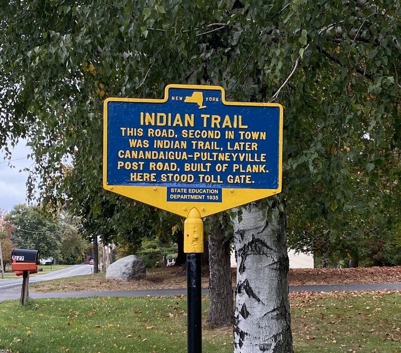
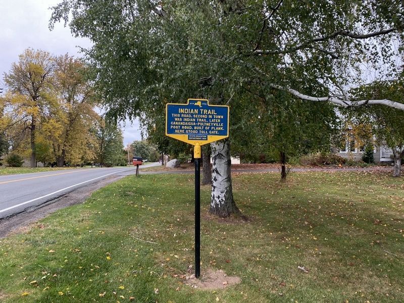
Indian Trail
This road, second in town
was indian trail, later
Canandaigua-Pultneyville
post road, built of plank.
Here stood toll gate.
Erected 1935 by New York State Education Department.
Topics. This historical marker is listed in these topic lists: Native Americans • Roads & Vehicles.
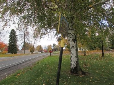
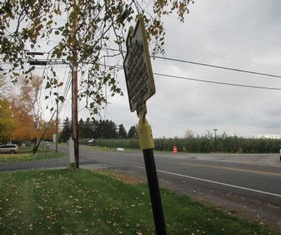
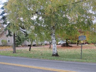
Location. 43° 15.375′ N, 77° 11.117′ W. Marker is in Williamson, New York, in Wayne County. Marker is at the intersection of Lake Avenue (County Route 120) and Jersey Road, on the right when traveling north on Lake Avenue. At the intersection with Lake Avenue, Jersey Road is east, Church Road is west. Touch for map. Marker is at or near this postal address: 7128 Lake Avenue, Williamson NY 14589, United States of America. Touch for directions.
Other nearby markers. At least 8 other markers are within 2 miles of this marker, measured as the crow flies. Site of Union Church (approx. 1.6 miles away); 100 Years of Dramatics (approx. 1.6 miles away); First White Men (approx. 1.8 miles away); From the Nearby Ravine (approx. 1.8 miles away); The Battle of Pultneyville (approx. 1.8 miles away); Pultneyville Historic District (approx. 1.8 miles away); Underground Railroad Terminus (approx. 1.9 miles away); Wreck of the St. Peter (approx. 1.9 miles away). Touch for a list and map of all markers in Williamson.
Credits. This page was last revised on November 2, 2023. It was originally submitted on December 11, 2014, by Anton Schwarzmueller of Wilson, New York. This page has been viewed 525 times since then and 29 times this year. Photos: 1, 2, 3, 4. submitted on December 11, 2014, by Anton Schwarzmueller of Wilson, New York. 5, 6. submitted on October 22, 2023, by Steve Stoessel of Niskayuna, New York. • Bill Pfingsten was the editor who published this page.

