Guyton in Effingham County, Georgia — The American South (South Atlantic)
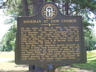
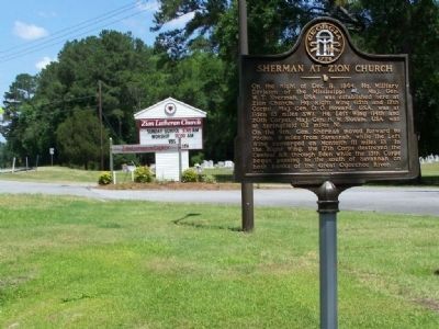
Sherman at Zion Church
On the 9th, Gen. Sherman moved forward to Pooler, 9 miles from Savannah, while the Left Wing converged on Monteith (11 mi. E). In the Right Wing, the 17th Corps destroyed the Central RR through Eden while the 15th Corps began passing to the south of Savannah on both banks of the Great Ogeechee River.
Erected 1955 by Georgia Historical Commission. (Marker Number 051-15.)
Topics and series. This historical marker is listed in these topic lists: Churches & Religion • War, US Civil. In addition, it is included in the Georgia Historical Society, and the Sherman’s March to the Sea series lists. A significant historical date for this entry is December 8, 1815.
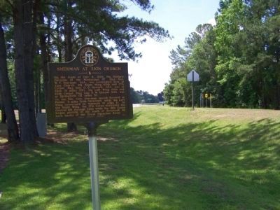
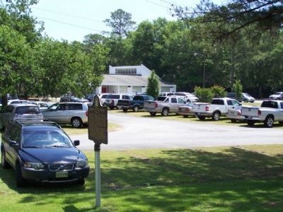
Location. 32° 12.394′ N, 81° 21.721′ W. Marker is in Guyton, Georgia, in Effingham County. Marker is at the intersection of Noel C Conaway Road (State Highway 30) and State Highway 17, on the right when traveling north on Noel C Conaway Road. Touch for map. Marker is at or near this postal address: 121 Noel C Conaway Road, Guyton GA 31312, United States of America. Touch for directions.
Other nearby markers. At least 8 other markers are within 10 miles of this marker, measured as the crow flies. Sherman's Right Wing (approx. 2.9 miles away); Jencks Bridge (approx. 3.4 miles away); Old River Road (approx. 4˝ miles away); a different marker also named Sherman's Right Wing (approx. 7.9 miles away); a different marker also named Old River Road (approx. 8.4 miles away); Guyton Confederate General Hospital (approx. 8.8 miles away); Sherman at Pooler (approx. 9.1 miles away); Goshen Church (approx. 9.3 miles away).
Also see . . . General William Tecumseh Sherman's March to the Sea. "All the roads leading into that city were obstructed by felled trees, earthworks, and artillery. These were turned, and by Dec. 10, 1864 the Confederates were all driven within their lines " (Submitted on May 27, 2008, by Mike Stroud of Bluffton, South Carolina.)
Credits. This page was last revised on April 14, 2017. It was originally submitted on May 27, 2008, by Mike Stroud of Bluffton, South Carolina. This page has been viewed 1,589 times since then and 38 times this year. Photos: 1, 2, 3, 4. submitted on May 27, 2008, by Mike Stroud of Bluffton, South Carolina. • Craig Swain was the editor who published this page.


