Near Metamora in Franklin County, Indiana — The American Midwest (Great Lakes)
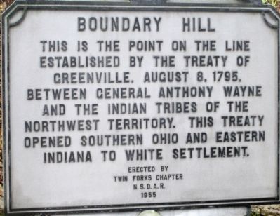
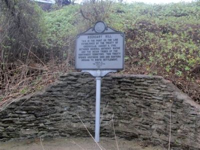
Boundary Hill
The Greenville Treaty Line in Southern Indiana
— Marking the “Gore” at the Whitewater Canal —
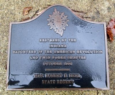
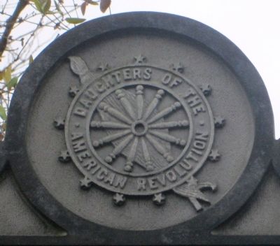
Erected 1955 by Twin Forks Chapter NSDAR.
Topics and series. This historical marker is listed in these topic lists: Native Americans • Settlements & Settlers. In addition, it is included in the Daughters of the American Revolution series list. A significant historical year for this entry is 1795.
Location. 39° 25.824′ N, 85° 2.53′ W. Marker is near Metamora, Indiana, in Franklin County. Marker is on US Rt 52 (U.S. 52), on the left when traveling west. marker is located on the south side of US Rt 52, about 1 mile west of Brookville, Indiana. It has a Metamora mailing address, even though it is about six miles east of Metamora. The marker is above the Whitewater River, and the old Whitewater Canal. Touch for map. Marker is at or near this postal address: 13449 US-52, Metamora IN 47030, United States of America. Touch for directions.
Other nearby markers. At least 8 other markers are within 2 miles of this marker, measured as the crow flies. Yellow Bank Flag Stop / Hendrickson's Ice Pond (approx. 1.1 miles away); The Whitewater Canal Trail Offers You: (approx. 1.1 miles away); a different marker also named The Whitewater Canal Trail Offers You: (approx. 1.1 miles away); Lock 21 and the Twin Arch Aqueduct at Yellow Bank Creek (approx. 1.1 miles away); David Stoops - Pioneer (approx. 1.3 miles away); Brookville's Carnegie Library (approx. 1.6 miles away); Intersection of Treaty Lines (approx. 1.6 miles away); Goodwin Home (approx. 1.7 miles away). Touch for a list and map of all markers in Metamora.
Additional keywords. Greenville Treaty Line DAR Whitewater Canal
Photographed By Rev. Ronald Irick
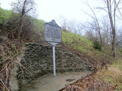
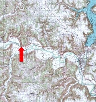
4. Boundary Hill site
the Greenville Treaty Line ran from the Mouth of the Cuyahoga River, up to the Portage, down the Tuscawarus, to the Crossing Place above Fort Laurens, then across ohio to fort Loramie, then on to fort recovery. From there it ran south west across Indiana to the Ohio river, opposite the Mouth of the Kentucky River. This line created a "Gore" of land in eastern Indiana, just west of the Ohio state line. This marker is on the line as it runs southwest to the Ohio River. Another marker is about three miles further south.
Credits. This page was last revised on June 16, 2016. It was originally submitted on December 16, 2014, by Rev. Ronald Irick of West Liberty, Ohio. This page has been viewed 553 times since then and 54 times this year. Photos: 1, 2, 3, 4, 5, 6. submitted on December 16, 2014, by Rev. Ronald Irick of West Liberty, Ohio. • Al Wolf was the editor who published this page.
