Near Baird in Callahan County, Texas — The American South (West South Central)
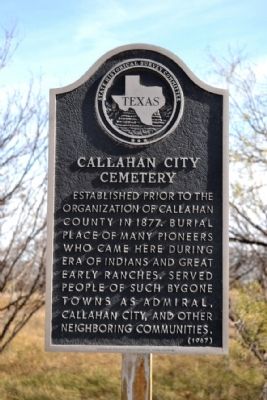
Callahan City Cemetery
Photographed by Duane Hall, December 16, 2014
1. Callahan City Cemetery Marker
Erected 1967 by State Historical Survey Committee. (Marker Number 633.)
Topics. This historical marker is listed in this topic list: Cemeteries & Burial Sites. A significant historical year for this entry is 1877.
Location. 32° 20.755′ N, 99° 17.863′ W. Marker is near Baird, Texas, in Callahan County. It is on Farm to Market Road 2228 0.1 miles south of County Road 488, on the left when traveling south. Touch for map. Marker is in this post office area: Baird TX 79504, United States of America. Touch for directions.

Regionally, this marker is in Big Country. Globally, it is in North America, a Gulf of Mexico state, the Western Hemisphere, the Western World, and the Anglosphere. Historically, it finds itself in what was once New Spain, the Comanchería, the Republic of Texas, and one of the Confederate States of America.
Other nearby markers. At least 8 other markers are within 6 miles of this marker, measured as the crow flies: Site of Callahan City (here, next to this marker); Military Telegraph Line (approx. 3.2 miles away); Admiral Cemetery Veterans Memorial (approx. 3.4 miles away); Admiral Baptist Church (approx. 3½ miles away); Site of John D. Merchant Home (approx. 4.4 miles away); Belle Plain (approx. 4.4 miles away); Site of Belle Plaine College (approx. 4.4 miles away); William Jeff Maltby (approx. 5.9 miles away). Touch for a list and map of all markers in Baird.
Also see . . . Callahan City Cemetery Research. From the findagrave.com website. (Submitted on December 23, 2014.)
this page online
Photographed by Duane Hall, December 16, 2014
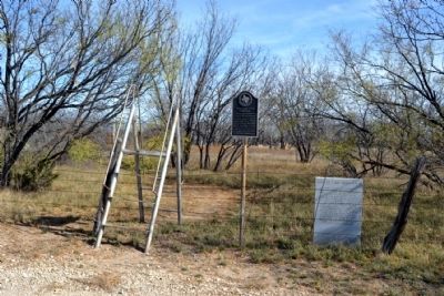
2. Callahan City Cemetery and Site of Callahan City Markers
Photographed by Duane Hall, December 16, 2014
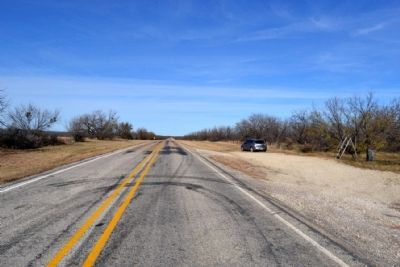
3. View to North Along FM 2228
Photographed by Duane Hall, December 16, 2014
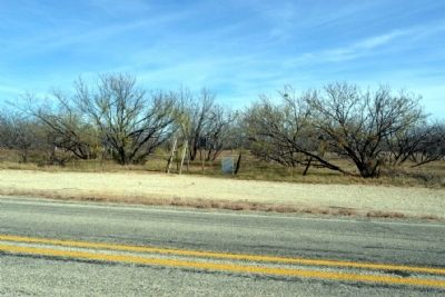
4. View to East Across FM 2228
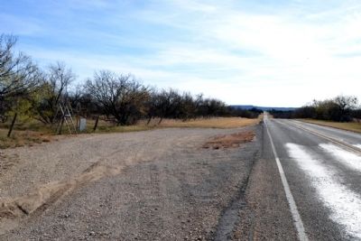
Photographed by Duane Hall, December 16, 2014
5. View to South Along FM 2228
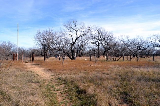
Photographed by Duane Hall, December 16, 2014
6. Callahan City Cemetery
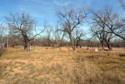
Photographed by Duane Hall, December 16, 2014
7. Callahan City Cemetery
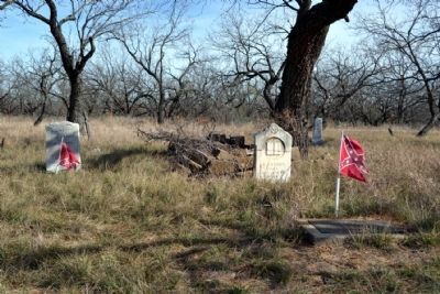
Photographed by Duane Hall, December 16, 2014
8. Callahan City Cemetery
Photographed by Duane Hall, December 16, 2014
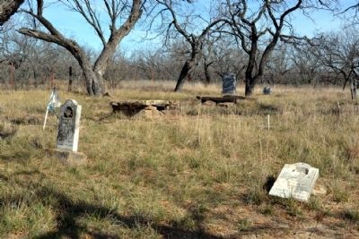
9. Callahan City Cemetery
Photographed by Duane Hall, December 16, 2014
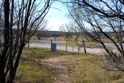
10. Markers as Viewed from Trail to Cemetery
Credits. This page was last revised on November 2, 2020. It was originally submitted on December 23, 2014, by Duane Hall of Abilene, Texas. This page has been viewed 908 times since then and 44 times this year. Photos: 1, 2, 3, 4, 5, 6, 7, 8, 9, 10. submitted on December 23, 2014, by Duane Hall of Abilene, Texas.
