Inner Harbor in Baltimore, Maryland — The American Northeast (Mid-Atlantic)
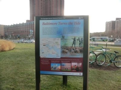
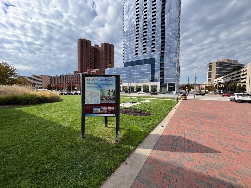
Baltimore Turns the Tide
Star-Spangled Banner National Historic Trail
— National Park Service, U.S. Department of the Interior —
After crushing the Americans at Bladensburg and invading the Nation’s Capital, the British targeted Baltimore. If they could capture the city—the third largest in the United States and a commercial and shipbuilding hub—they could likely bring the war to an end. Military and civilians, including free and enslaved blacks, rallied to fend off the British.
On September 12-14, 1844, the British attacked by land from North Point and by water at Fort McHenry on the Patapsco. The impressive American defenses and the failure to capture Fort McHenry persuaded the British to withdraw, essentially ending the Chesapeake Campaign of 1814.
Throughout Baltimore you can find links to people and events that helped turn the tide of the War of 1812:
★ Maryland Historical Society Museum - War of 1812 exhibits and original manuscript of "Star-Spangled Banner"
★ Patterson Park - Remnants of defensive earthworks on Hampstead Hill; views of British approaches to Baltimore
★ Fort McHenry National Monument and Historic Shrine - Exhibits and programs about the Star-Spangled Banner and defense of Baltimore
★ Flag House and Star-Spangled Banner Museum - Programs about the flag that inspired the national anthem
★ Fell's Point - Historic seaport prominent during the War of 1812
Erected by National Park Service, U.S. Department of the Interior.
Topics and series. This historical marker is listed in these topic lists: Forts and Castles • War of 1812 • Waterways & Vessels. In addition, it is included in the Star Spangled Banner National Historic Trail series list. A significant historical month for this entry is September 1910.
Location. 39° 17.046′ N, 76° 36.75′ W. Marker is in Baltimore, Maryland. It is in the Inner Harbor. Marker is at the intersection of Light Street (Maryland Route 2) and East Conway Street, on the right when traveling north on Light Street. The marker is near the entrance to the Baltimore Visitor Center in the Inner Harbor. Touch for map. Marker is at or near this postal address: 401 Light St, Baltimore MD 21202, United States of America. Touch for directions.
Other nearby markers. At least 8 other markers are within walking distance of this marker. Adventure Begins at the Bay's Front Door (within shouting distance of this marker); Baltimore’s Maritime Heritage (about 300 feet away, measured in a direct line); Admiral Guillermo Brown (about 300 feet away); a different marker also named Baltimore’s Maritime Heritage (about 300 feet away); The Great Baltimore Fire (about 400 feet away); Pride of Baltimore
Photographed By Devry Becker Jones (CC0), October 20, 2023
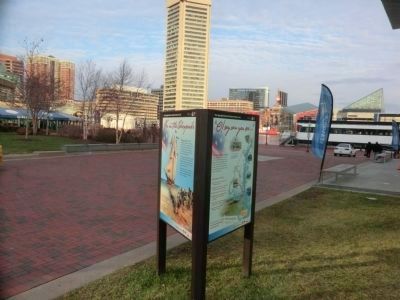
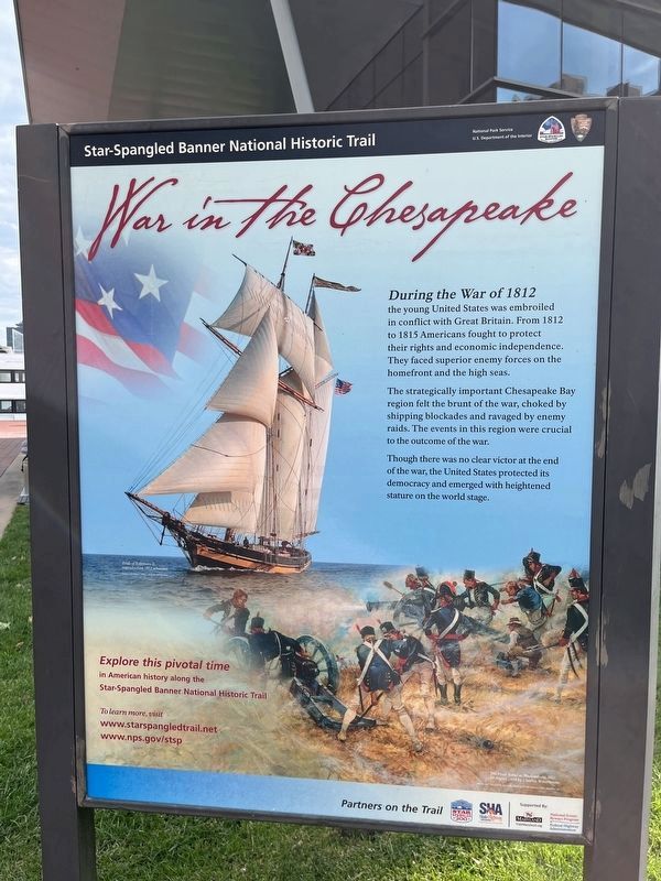
2. War in the Chesapeake side of the marker
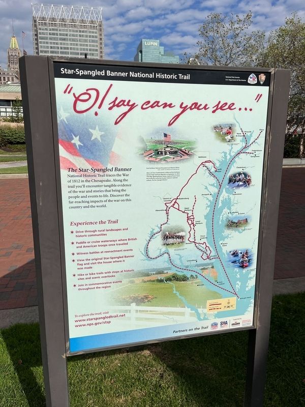
Photographed By Devry Becker Jones (CC0), October 20, 2023
3. "O! say can you see..." side of the marker
Credits. This page was last revised on October 21, 2023. It was originally submitted on December 24, 2014, by Don Morfe of Baltimore, Maryland. This page has been viewed 929 times since then and 17 times this year. Photos: 1. submitted on December 24, 2014, by Don Morfe of Baltimore, Maryland. 2, 3, 4. submitted on October 21, 2023, by Devry Becker Jones of Washington, District of Columbia. 5. submitted on December 24, 2014, by Don Morfe of Baltimore, Maryland. • Bill Pfingsten was the editor who published this page.
